
Créé par Emilie, le 15 août 2026
Votre guide Ryo
Bike Rides Around Montpellier: 12 Routes to Explore the Hérault in 2026
© Shutterstock
Montpellier doesn't need a car. Over the past twenty years, the city has built a cycling network now exceeding 600 kilometres of marked paths and lanes, one of the densest in the South of France. Bike rides in and around Montpellier are anything but modest: from the track running alongside the Lez to the sea, to the wine-growing paths of the hinterland, the area offers a variety of landscapes that few regional cities can rival.
This guide brings together 12 bike ride routes around Montpellier and its surroundings, organised by destination and difficulty. You'll find a Romanesque abbey set on a peninsula between sea and lagoon reachable in 25 kilometres along a greenway, a 45-kilometre loop around a flamingo-filled lagoon, a coastal route all the way to Sète with its 183-metre Mediterranean panorama, and the Prairies de la Mosson at the end of a family outing near Lunaret. Before setting off, note that the Ryo audio guide Dites bonjour à la Surdouée lets you discover the historic heart of Montpellier in 1.5 hours, with 19 audio stops over 3.5 kilometres.
The Lez Greenway to Palavas-les-Flots
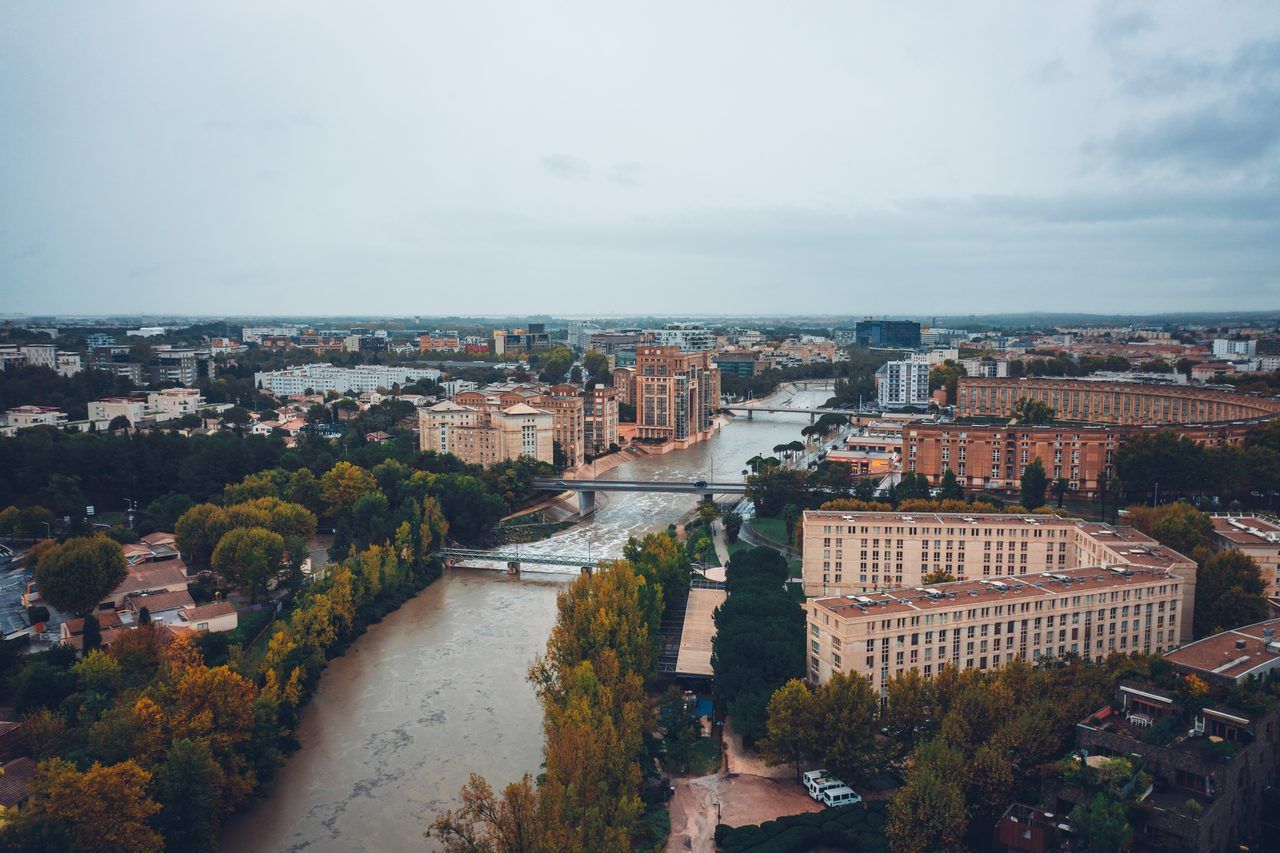
This is the reference route, the one that Montpellier locals ride once a season as if to confirm that the sea is indeed there, just 18 kilometres from the Comédie. The Lez riverside greenway follows the coastal river from Montpellier to the lido at Palavas-les-Flots along a paved track almost exclusively reserved for cyclists and pedestrians. No crossings with cars for two-thirds of the route: that's what makes it the ideal ride for children, beginners and family outings.
The natural starting point is the Parc de la Reine, near the Lattes bridge, where the track is clearly signposted. You first follow the meanders of the Lez beneath rows of plane trees, passing through natural spaces where you may spot egrets or grey herons perched on the banks. Mediterranean vegetation — tamarisks, reeds and oleanders — lines the route until the landscape opens up onto the first lagoons.
At Port de Lattes, roughly halfway, a stop is well worth considering. The village of Lattes is home to a remarkable archaeological museum: the Musée archéologique Henri Prades (390 Avenue du Prado, 34970 Lattes, rated 4.6/5 on Google from 648 reviews) traces 2,600 years of occupation of this Gaulish and Roman site, with collections of Iberian ceramics and ancient coins. If you only have your bike and the urge to reach the sea, continue straight south. The track narrows slightly but remains perfectly rideable all the way to the first streets of Palavas.
Palavas-les-Flots is not your average seaside resort. The town is split in two by a canal — the Lez reaching the end of its course here — with the fishing waterfront on one side and the holiday beach on the other. You'll find terraces, a long family-friendly beach, and several kayak and paddleboard rental points for those whose legs are calling for a rest. The total distance from the centre of Montpellier is around 18 km one way, meaning 40 to 60 minutes at a relaxed pace depending on your starting point.
For the return, some cyclists head back along the seafront road, passing the campsites at Carnon before rejoining Montpellier via a slightly different route. Others simply retrace their steps and find, heading back north, that the track is just as enjoyable in both directions. With a tramontane or sea wind blowing, the return leg can be considerably more demanding than the outward journey: factor this into your plans.
A practical tip: avoid Sunday mornings in July between 10am and 2pm. The track can become overrun with scooters, rollerbladers and families with pushchairs. On a weekday morning, you'll have it almost to yourself.
Distance: approx. 18 km (one way) | Elevation: virtually flat | Difficulty: very easy | Surface: tarmac, marked greenway
Maguelone Abbey and the Pilou Beach
There is something slightly surreal about this ride: you leave the city, cross a landscape of dunes planted with maritime pines, and arrive before a 12th-century Romanesque abbey set on a peninsula between sea and lagoon, as if it had been accidentally left behind.
The Abbaye de Maguelone is one of the least-known cathedrals in Languedoc. Built between the 11th and 12th centuries on a limestone islet between the Étang de Vic and the Mediterranean, it served as the seat of the diocese of Maguelone for several centuries before Montpellier took over that role. Now restored, it hosts early music concerts in summer, temporary exhibitions, and an unusual campsite run by an association that employs adults with disabilities in an exceptional natural setting.
The cycle route to reach it from Montpellier is itself a fine experience. Head towards Villeneuve-lès-Maguelone, approximately 20 kilometres from the Place de la Comédie, following the coastal cycle route signs. From the Villeneuve-lès-Maguelone station, a lane reserved for cyclists and pedestrians, built along a former railway line, leads directly to the abbey over an additional 4 kilometres.
This section is entirely flat and stretches between the Étang de Vic on one side and fragrant pine forests on the other. The vegetation changes as you approach the peninsula: the pines give way to halophytic plants, tamarisks twisted by the sea wind, and clumps of glasswort. It quickly becomes clear why this ecosystem is classified as a regional nature reserve.
The Pilou beach (Chemin de Maguelone, 34750 Villeneuve-lès-Maguelone, rated 4.6/5 on Google from 155 reviews) lies right beside the abbey, on the Mediterranean side of the peninsula. It is a wild beach, slightly windy, with no car access, no cocktail bar and no plastic sunshades. You'll encounter families who arrived by bike, a few naturalists with binoculars, and flamingos feeding in the Étang de Vic visible from the northern shore. If you're looking to swim away from the crowds of Palavas or Le Grau-du-Roi, this is arguably the best option in the area.
Allow 24 to 25 km one way from the centre of Montpellier. The entire route follows cycle paths or very quiet roads, making it accessible to cyclists of all levels. In summer, leave early in the morning to enjoy the abbey before the late-morning crowds, and pack a picnic: food options around the abbey remain very limited.
Distance: approx. 25 km (one way) | Elevation: less than 50 m | Difficulty: easy | Highlight: 12th-century Romanesque abbey, wild beach, nature reserve
Montpellier to Sète Along the Coastal Route
This is the great cycling adventure from Montpellier: the ride to Sète, 40 kilometres of sea, lagoons and light that will change the way you see the Languedoc coastline. The route is varied — cycle path, greenway and coastal road on a few sections — and earns its keep with a total distance of approximately 38 to 42 km depending on your starting point in Montpellier.
The first stage is Palavas-les-Flots, reachable via the Lez greenway as described above. From Palavas, the track continues west along the lido, that narrow strip of sand between the sea and the lagoons. The Lido de Villeneuve and then the Lido de Frontignan follow in succession, with their campsites, wild beaches and seaside resorts that come alive during the two summer months.
The landscape changes dramatically around Frontignan. The scent of Frontignan muscat drifts through the warm late-morning air, and the vineyards slope gently down to the Étang de Vic. Frontignan deserves a brief stop: the cooperative cellars offer tastings year-round, and the central square with its shaded fountain invites a moment of calm before the final stretch to Sète.
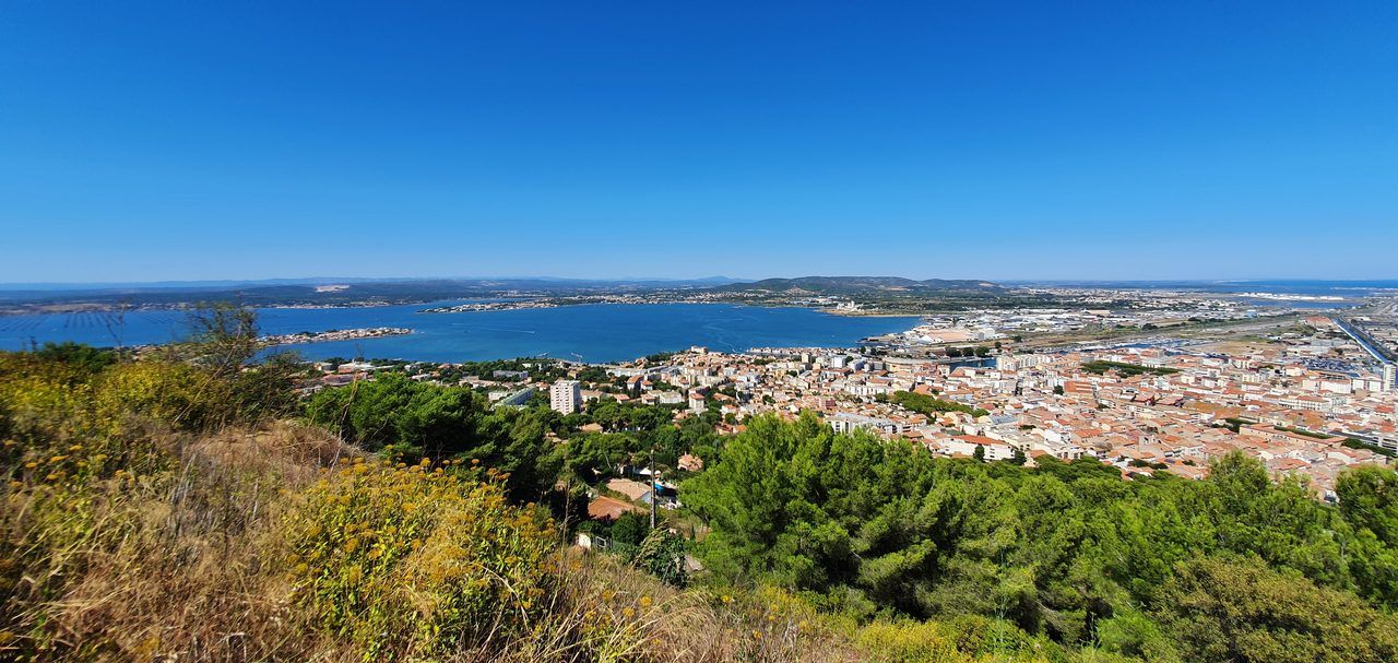
You then reach the first climbs of Mont Saint-Clair, the only hill in Sète, which peaks at 183 metres above sea level. From the summit, the panorama is stunning: on one side the Bassin de Thau (34140 Mèze, rated 4.5/5 on Google from 1,200 reviews) with its oyster tables laid out like a chessboard, and on the other the open Mediterranean, with the silhouette of the Pyrenees visible on the horizon on a clear day. Cycling to the top is physically achievable but requires some effort over the final two kilometres — the only real challenge of the route.
The Bassin de Thau is a different experience by bike than by car. The oyster and mussel tables create a lake landscape unique in France, and the cycle route that skirts the basin can be incorporated into a wider loop towards Balaruc-les-Bains or Mèze. It also provides an opportunity to eat oysters by the water at one of the many establishments in Bouzigues, an oyster-farming village a few kilometres from Sète.
For the return, you have two options. Retrace your route in the opposite direction — the relief and light will look different heading back. Or take the train from Sète station: regional TER trains accept bikes without a reservation outside peak hours. Sète station is a 10-minute walk from the town centre, which makes the logistics considerably simpler.
Distance: approx. 40 km (one way) | Elevation: approx. 150 m (Mont Saint-Clair) | Difficulty: moderate | Tip: return by TER train from Sète is possible
The Great Loop Around the Étang de l'Or
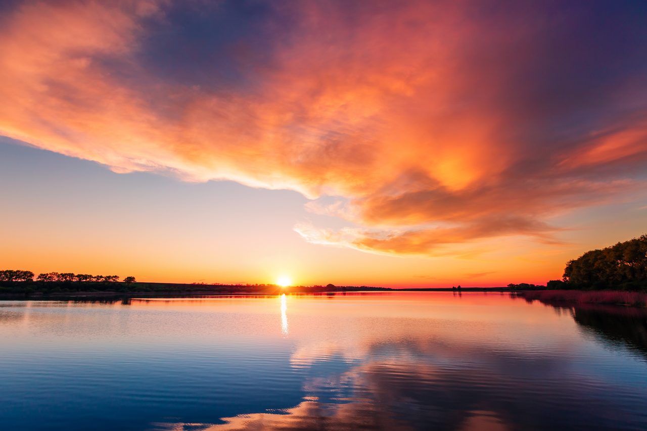
East of Montpellier, between Mauguio and Lunel, the Étang de l'Or (Lieu-dit l'Or, 34130 Mauguio, rated 4.6/5 on Google from 55 reviews), also known as the Étang de Mauguio, is one of the richest wetlands in the region. It is a haven for migratory and resident birds: flamingos, avocets, sandpipers, purple herons and, in autumn, thousands of ducks that stop over in the reed beds. The cycling loop that encircles it covers 40 to 50 km depending on the variant chosen.
The route starts from Mauguio, a characterful small town 15 km east of Montpellier via the cycle path running alongside the D66. Mauguio town centre deserves a quick stop: its medieval lanes around the Église Saint-Pierre, its 19th-century market hall and its shaded cafés make a pleasant break before heading into the surrounding countryside.
From Mauguio, you head down towards the lagoon shore through the managed marshes of the northern bank. The road is flat, the wind can be a factor (lagoons generate their own air currents), and the towpaths allow you to ride just metres from the water's surface. On some mornings, flamingos feed in dense flocks in the mudflats — a spectacle that warrants a pause, binoculars or not.
The full loop passes through Lansargues, Saint-Nazaire-de-Pézan and the wine-growing villages that mark the border between the Hérault and the Gard. Arriving in Lunel, about 20 km from Mauguio, you enter bullfighting and Romani territory, with its spring férias and distinctive atmosphere. The town has a mediatheque housed in a 17th-century convent, and its Friday morning markets are renowned throughout the region.
The return leg runs along the northern shore of the lagoon, passing through Marsillargues and the paths between vineyards and pine forests on the plain. Overall, the loop makes for a fine full day's cycling, with several resupply points in the villages along the way. Bring plenty of water: between Mauguio and Lunel, public fountains are scarce on some rural stretches.
Distance: approx. 45 km (loop from Mauguio) | Elevation: virtually flat | Difficulty: moderate (distance) | Best season: spring and autumn, for the birds and the temperatures
Lac du Crès and the Mosson Riverbanks
These two routes, often combined into a single loop outing, form the green lung of Montpellier's urban area. Neither takes more than half a day, and both are accessible from the city centre within minutes by bike.
The Lac du Crès lies east of Montpellier, between the Port Marianne district and the commune of Le Crès. This artificial 12-hectare lake has been developed for outdoor leisure: supervised swimming in summer, pedalo hire, fishing and jogging. The cycling ring surrounding it covers 3 kilometres and remains perfectly flat. It's not the most immersive ride in the département, but it is a convenient spot, quick to reach and very popular with Montpellier families for an hour's outing.
On the opposite side of the city, to the west, the Mosson riverbanks offer an entirely different character. The Mosson is a river that flows through Montpellier, Juvignac and Pignan before joining the Lez. Its banks have been developed into an urban nature park: the Prairies de la Mosson extend over several kilometres of maintained paths bordered by plane trees, reed beds and small pools. Cycle paths allow you to follow the river from the Lunaret zoo (50 Avenue Agropolis, 34090 Montpellier, rated 4.1/5 on Google from 14,172 reviews) to Juvignac and beyond.
The Lunaret Zoo deserves a special mention. It is one of the rare entirely free zoological parks in France (only the Amazonian greenhouse remains ticketed), set within a vast natural garrigue estate where giraffes, southern white rhinoceroses, zebras and numerous species of Mediterranean birds and reptiles roam. Important note: the wildlife park is closing for a major renovation project from 1 August 2026, with a scheduled reopening in 2028. During the works, check access before visiting; the wooded paths in the surrounding area remain pleasant to explore by bike.
To combine both areas: start from Lac du Crès in the morning, cross the city centre via the marked Port Marianne cycle paths, and arrive at the Prairies de la Mosson by late morning. The full round trip amounts to 25 to 30 km depending on your starting point, entirely rideable on cycle paths or quiet roads. Families with children under 8 will particularly enjoy the variant that focuses solely on the Mosson riverbanks, which is considerably shorter and perfectly safe.
Distance: 10–30 km depending on the variant | Elevation: low | Difficulty: very easy to easy | Ideal for: families, outings with young children, urban nature discovery
Cournonsec and Lavérune: the Wine-Growing Hinterland
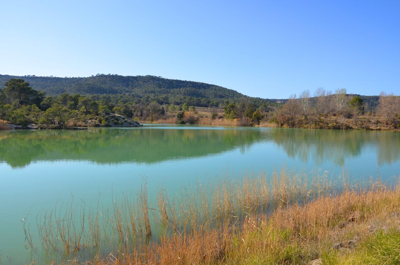
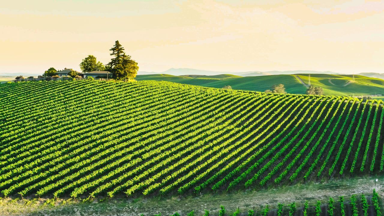
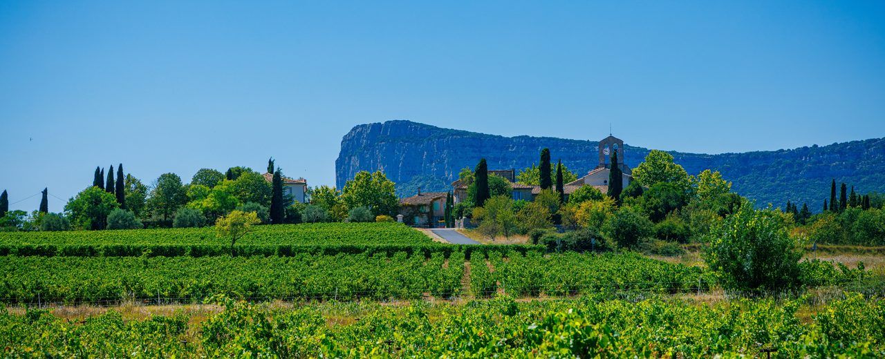
Less well known among passing cyclists, this loop west of Montpellier reveals a different side of the Hérault: dense vineyards, low garrigue-covered hills and honey-stone villages that have barely changed since the 19th century. This is the route that locals keep to themselves and save for Sunday mornings, when the roads are empty and the air is still cool.
Lavérune is the first logical stop, just 8 km from the centre of Montpellier. This commune is home to the Château de Lavérune, the former residence of the bishops of Montpellier, which now houses a municipal museum with a fine collection of 17th- and 18th-century paintings. The château grounds, open to the public free of charge, offer a welcome shady retreat during summer outings. The tree-lined avenues and central fountain make it an ideal resting point before getting back on the road.
Cournonsec (Place de la Mairie, 34660 Cournonsec) lies 20 km west of the centre of Montpellier, in the Gardiole area. The village backs onto a hillside of AOP Languedoc-classified vines, and its restored windmill has dominated the rooftops since the 19th century. Between Lavérune and Cournonsec, the small roads cross wine estates where the cellars often offer direct tastings at weekends — a good excuse to fill your panniers with a few bottles for the return leg.
The full loop — Montpellier, Lavérune, Cournonsec and back — totals approximately 45 km with a moderate elevation gain of around 250 metres, concentrated mainly on the roads between villages. A few short climbs wake the legs up after the flat coastal routes. The road surface is good on the main roads and variable on the secondary vineyard tracks.
Distance: approx. 45 km (loop) | Elevation: 250 m | Difficulty: moderate | Highlight: vineyards, rural architecture, cellar tastings possible
Saint-Geniès-des-Mourgues and Saint-Brès: the Plain Villages
East of Montpellier, between the garrigue of the Pic Saint-Loup and the Mauguio plain, a series of medieval villages dot the limestone ridges. The ride between Saint-Geniès-des-Mourgues (Place du Village, 34160 Saint-Geniès-des-Mourgues, rated 4.5/5 on Google from 32 reviews) and Saint-Brès is one of those outings that starts out simply and ends up revealing a layer of landscape you wouldn't have suspected just 20 kilometres from the city.
Saint-Brès lies 12 km east of Montpellier, reachable via the Castelnau-le-Lez road and its cycle paths. It is a quiet village surrounded by vines and olive groves, with an 11th-century Romanesque church at the heart of a shaded cemetery. The road that then climbs towards Saint-Geniès-des-Mourgues offers open views across the entire Montpellier plain and the Pic Saint-Loup massif in the background.
Saint-Geniès-des-Mourgues, perched on a hill 18 km from Montpellier, is worth the detour for its medieval communal oven still visible on the main street, and for the 360-degree view from the path running along the old town walls. Interpretive panels recount the history of this village whose inhabitants once worked the garrigue before viticulture transformed the landscape in the 19th century.
The loop circuit — Montpellier, Saint-Brès, Saint-Geniès and back via Valergues or Baillargues — totals 30 to 35 km with a moderate elevation gain of around 200 metres. Road quality varies: the roads between villages are often narrow but well maintained. A GPS or an app downloaded in advance is recommended, as cycle signage is sparse on this section.
Distance: approx. 32 km (loop) | Elevation: 200 m | Difficulty: moderate | For whom: cyclists looking for a heritage outing away from the crowds
The Historic Centre of Montpellier by Bike
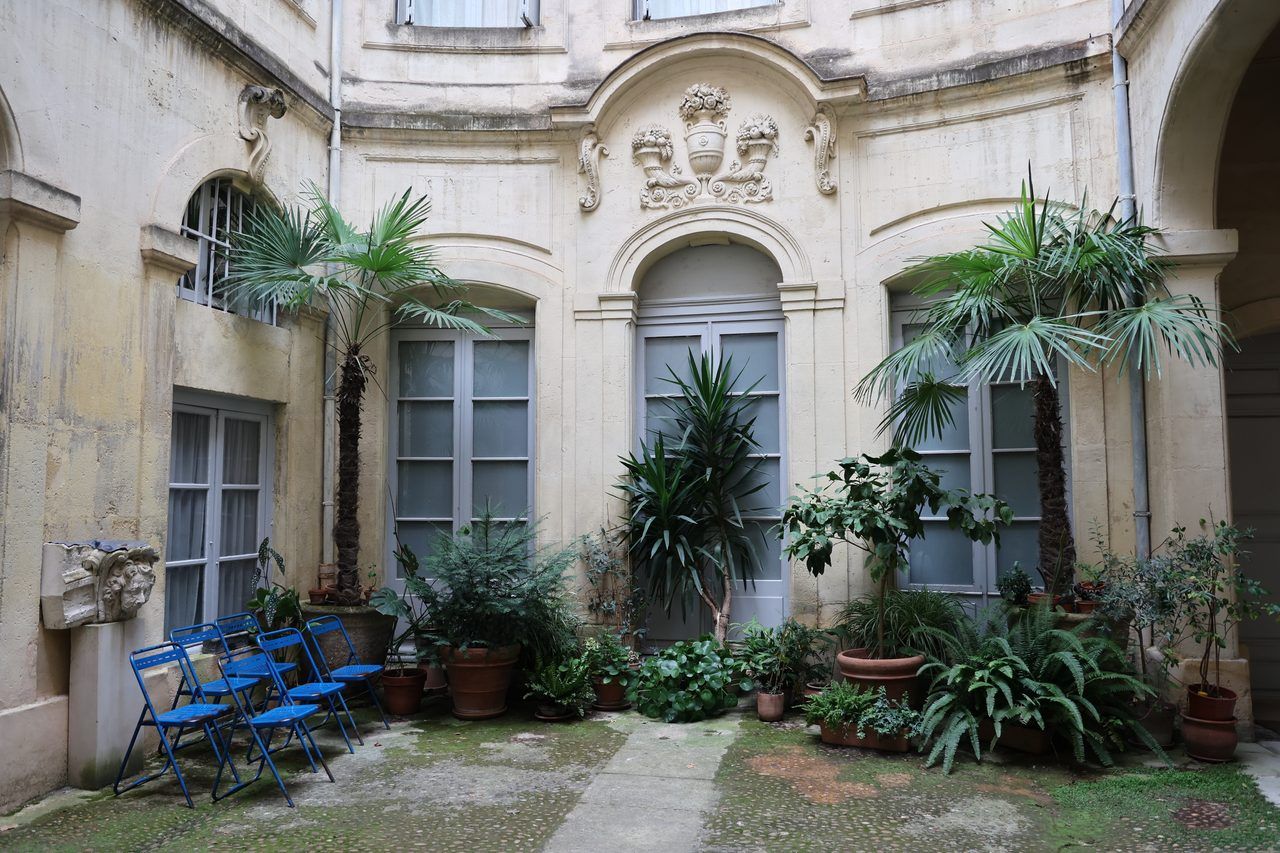
Cycling through the heart of Montpellier requires a little attention, but the city has invested heavily in its cyclists over recent years. The Écusson, the historic centre enclosed by the old city walls, is now crossed by several official cycle routes, and the policy of limiting car access has made traffic considerably smoother. A 10-kilometre ride through the centre allows you to cover the main architectural highlights at a pace no pedestrian can match.
The best starting point is the Place de la Comédie, the beating heart of Montpellier. The Fontaine des Trois Grâces has stood there since the late 18th century, surrounded by brasseries and terraces that offer the best vantage point for observing Montpellier life. On weekend mornings, the square is reserved for pedestrians and cyclists until noon.
From there, head up towards the Promenade du Peyrou, a 17th-century royal esplanade featuring its Arc de Triomphe, its water tower and a view of the Cévennes on a clear day. The Saint-Clément aqueduct, which supplied the city with water from the 18th century onwards, is visible from the Peyrou gardens. It is one of the best-preserved 18th-century aqueducts in France, stretching 14 km in length with the 53 great arches of its monumental Arceaux section.
The neighbouring Jardin des Plantes is the oldest botanical garden in France, founded in 1593 — 42 years before the one in Paris. It houses medicinal plants and exotic species brought back by botanists from the Montpellier Faculty of Medicine since the 16th century. By bike, you can ride past it in five minutes from the Peyrou, but stepping inside the garden on foot is well worth the pause.
For those who want a guided commentary of the monuments and historic districts, the Ryo audio guide Dites bonjour à la Surdouée is the ideal companion. This Ryo Ryocity Montpellier tour covers the Écusson over 3.5 km, with 19 audio tracks recounting the city's history from its founding in the 10th century to its contemporary architectural projects. It works just as well on a handlebar as on foot through the pedestrian lanes.
Tip: for the narrowest lanes of the Écusson, lock your bike at one of the many secure bike racks and finish the visit on foot.
Distance: approx. 10 km | Elevation: approx. 50 m | Difficulty: easy | Tip: combine with the audio guide tour for an enriched visit
The Climb to Pic Saint-Loup
Pic Saint-Loup is not a beginner's outing. The summit peaks at 658 metres and the approach roads from Montpellier show no mercy over the final 15 kilometres. For cyclists who want to take on a genuine Mediterranean climb, this is the ultimate challenge north of the city.
The most rideable route sets off from the Croix d'Argent neighbourhood in Montpellier, heads north towards Grabels and then Saint-Gély-du-Fesc along secondary roads. Beyond Saint-Gély, the vineyard roads gradually climb towards the Séranne massif, and Pic Saint-Loup appears in the distance as a limestone tooth rising above the garrigue. The landscape changes dramatically from the coast: here, the fragrant garrigue of thyme and rosemary replaces the tamarisks and reeds of the lagoons.
The village of Saint-Martin-de-Londres (Place de la Fontaine, 34380 Saint-Martin-de-Londres, rated 4.4/5 on Google from 520 reviews), 25 km from Montpellier, is the base camp for most cyclosportifs tackling the summit. The medieval village warrants a rest: its limestone lanes, its beautiful square shaded by centuries-old plane trees and its restaurants open at lunchtime are a good reason to catch your breath before the final push. The local tourist office has information on conditions on the climb and available water points along the route.
The final ascent to Pic Saint-Loup involves a climb of 600 metres over about ten kilometres from Saint-Martin. At the summit, reachable from a bike parking area via a 30-minute footpath, the reward is panoramic: on a fine day you can make out the sea, the Cévennes, the Pyrenees and even the island of Sète. To go further with this route and its hiking variants, see the hike to Pic Saint-Loup and the finest hikes in the Hérault.
Distance: approx. 50 km round trip from Montpellier | Elevation: 700 m | Difficulty: challenging | Tip: road bike or mountain bike, depart before 8am in summer
The Petite Camargue and the Camin de Fé
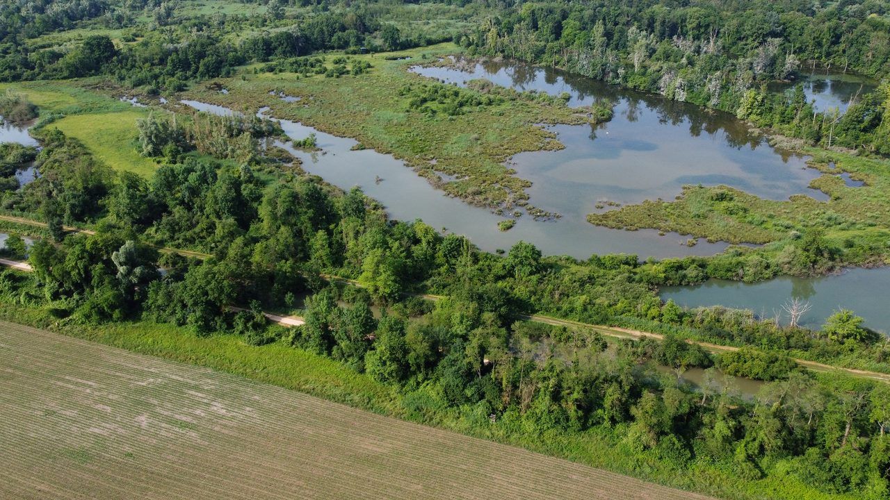
For those who want to venture towards the Gard border without leaving the coastal plain, the Petite Camargue offers an even wilder landscape than the lagoons of the Hérault. The most cycle-friendly route runs along the Camin de Fé, the Occitan name for the 'iron road' — a former railway line converted into a greenway over several dozen kilometres.
The ride starts from Lunel, reachable from Montpellier via the eastern cycle path over approximately 30 km. From Lunel, the Camin de Fé greenway reaches Aimargues and descends towards Aigues-Mortes (Place Anatole France, 30220 Aigues-Mortes, rated 4.6/5 on Google from 12,120 reviews), one of the best-preserved medieval towns in Europe. The track is flat, even and pleasantly shaded in places — a delight to ride even in the height of summer.
Aigues-Mortes was built in the 13th century by Louis IX to serve as a departure port for the Crusades. Its perfectly intact rectangular ramparts still enclose a town whose lanes and squares have barely changed in 700 years. The Tour de Constance, one of the corner towers of the northern rampart, can be visited in 45 minutes and from its summit offers a striking view over the pink salt flats of the Camargue du Gard.
The return from Aigues-Mortes can be made along the seafront, passing through Le Grau-du-Roi and La Grande-Motte before rejoining Carnon and Palavas via the lido. This variant turns the route into a large loop of 80 to 90 km in total from Montpellier — a fine full day's cycling for experienced riders and electric-assist bike enthusiasts.
Distance: 45 km to Aigues-Mortes from Lunel (plus 30 km from Montpellier to Lunel) | Elevation: none | Difficulty: moderate (distance) | Highlight: intact medieval town, Petite Camargue
Renting a Bike in Montpellier
Montpellier has made soft mobility a cornerstone of its urban policy since the 2000s, and this shows in the rental offer available. For your bike rides in and around Montpellier, you'll have no difficulty finding a bike suited to your route.
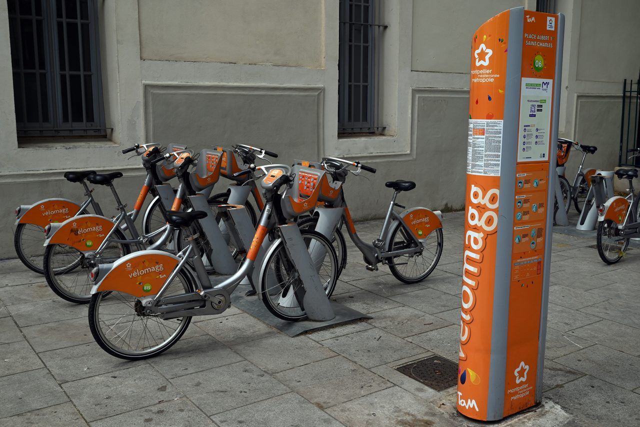
VéloMagg is the metropolitan area's self-service bike scheme. It has more than 50 stations in the city centre and first-ring communes, with standard and electric-assist bikes available 24 hours a day. The daily subscription operates on a progressive pricing model: the first 30 minutes are free or nearly free, after which the rate increases per time bracket. For short urban rides such as the historic centre or Lac du Crès, VéloMagg is the ideal solution. For longer outings such as Palavas or Maguelone, the network's bikes are not well suited.
Several independent rental shops offer quality bikes with or without electric assistance for half-day or full-day outings. Expect to pay 15 to 25 euros per day for a standard city bike and 35 to 50 euros for an electric-assist bike. Shops in the Antigone neighbourhood or near the Saint-Roch train station are well placed for heading east or south. For challenging routes such as Pic Saint-Loup or the Étang de l'Or loop, a road bike or a good-condition mountain bike is recommended. Some rental shops offer hotel delivery on request.
Practical Tips and Safety
A few reminders applicable to all your bike rides in and around Montpellier, from the coast to the garrigue.
Maps and navigation: the Montpellier metropolitan area app and cycling navigation apps provide good coverage of the marked network. On rural routes (Cournonsec, Saint-Geniès), downloading the tracks before departure is essential as the connection can be unreliable in the garrigue.
The heat is the Hérault cyclist's main enemy. In July and August, temperatures regularly exceed 35 degrees Celsius on the plain. Setting off before 9am is non-negotiable for long outings. Allow a minimum of 2 litres of water per person for a 3-hour outing, and more on routes with no resupply points.
Marked routes: the metropolitan area has invested heavily in cycling signage since 2020. The Lez, Mosson riverbank and coastal routes are well marked and maintained year-round. Rural roads in the hinterland remain less well signposted.
Basic equipment: helmet (compulsory for minors, strongly advised for all), front and rear lights, reflective vest on roads shared with cars, a spare inner tube and mini-pump, SPF 50 sun protection.
For more outing ideas in the area, the guide what to do around Montpellier lists activities for every season.
FAQ
What is the most popular bike ride starting from Montpellier?
The Lez greenway to Palavas-les-Flots is unquestionably the most popular route. Its 18 km on an exclusively paved track, its near-zero elevation gain and its arrival at the beach make it the perfect outing for families and beginner cyclists. On spring and summer weekends, the track can get busy between 10am and 2pm. Opt for an 8am departure to ride at a leisurely pace and arrive in Palavas before the peak hours.
How do you get to Palavas-les-Flots by bike from Montpellier?
From the centre of Montpellier, follow the signage for the 'Voie verte du Lez' heading south, accessible from the Parc de la Reine or the Montpellier Sud neighbourhood. The track follows the Lez river for almost the entire journey to Palavas-les-Flots. Distance: approximately 18 km, taking between 45 minutes and 1 hour 15 minutes depending on your pace. The track is entirely flat and well marked, with no car crossings along most of the route. VéloMagg bikes can be used for this trip, but daily rental bikes are more comfortable for the distance.
Is it easy to rent a bike in Montpellier?
Yes. The VéloMagg system offers more than 50 self-service stations across the metropolitan area, available 24 hours a day. For longer outings or higher-quality bikes, independent rental shops are found in the city centre, particularly near the Saint-Roch train station and in the Antigone neighbourhood. Prices range from 15 to 50 euros per day depending on the type of bike. Booking in advance during peak season is advisable, especially for electric-assist bikes which go quickly at weekends.
Are there bike rides suitable for children around Montpellier?
Several routes are perfectly suited to families with children. The Lez greenway to Palavas, the Lac du Crès loop and the Mosson riverbanks are entirely flat, safe and car-free along most of the route. The route towards the Prairies de la Mosson and the Lunaret area, accessible from northern Montpellier via marked cycle paths, is particularly popular with families (note that the Lunaret zoo, which is free, will close for renovation from 1 August 2026 until 2028: check before including it in your plans). In summer, set off before 9am without fail and plan regular water stops.
What is the distance between Montpellier and Sète by bike?
Approximately 38 to 42 km depending on your starting point in Montpellier. The route passes through Palavas-les-Flots, the Villeneuve lido and Frontignan before reaching the foot of Mont Saint-Clair in Sète. The only notable climb is the ascent to the summit of Sète, which peaks at 183 metres. For the return journey, the train from Sète station is an excellent option: regional TER trains accept bikes without a reservation outside peak hours.
Can you do the Lez ride on a mountain bike?
The main greenway, which is entirely paved, is perfectly suited to all types of bikes, including mountain bikes. On the sections following the natural banks of the Lez that are not paved, a mountain bike is actually preferable to a road bike. For the full journey to Palavas-les-Flots, however, a city bike, a hybrid bike or an electric-assist bike is just as comfortable and considerably less tiring than a full-suspension mountain bike.
What equipment should you bring for cycling around Montpellier in summer?
In July and August, the essentials are: high sun protection (SPF 50 minimum on all exposed areas), 2 to 3 litres of water for outings lasting more than 2 hours, a helmet, sunglasses and a hat for breaks. For long routes such as the Étang de l'Or loop or the ride to Sète, bring a basic repair kit (inner tube, tyre levers, mini-pump). Systematically avoid the hottest hours between 11am and 4pm from June to September. A reflective vest is useful on road sections shared with cars.
Conclusion
From the banks of the Lez to the ramparts of Aigues-Mortes, from the vineyards of Cournonsec to the wild beaches of Maguelone, bike rides in and around Montpellier offer a diversity of landscapes that few French cities can match in so few kilometres. The city invests every year in its cycling infrastructure, and the network continues to extend towards new horizons.
Before setting off, use the Ryo app to start with the heart of the city: the Ryo audio guide Dites bonjour à la Surdouée gives you the keys to the Écusson in 1.5 hours and 19 audio stops — a great way to understand the city before exploring its surroundings on two wheels. For more ideas in the area, also discover the activities in and around Montpellier.
À lire également