


Walk
The soul of Argentina
Buenos Aires, Argentina
Walk
The soul of Argentina
Buenos Aires, Argentina
6 km
Distance
2h30
Durée
19
Audios
Loop
Parcours
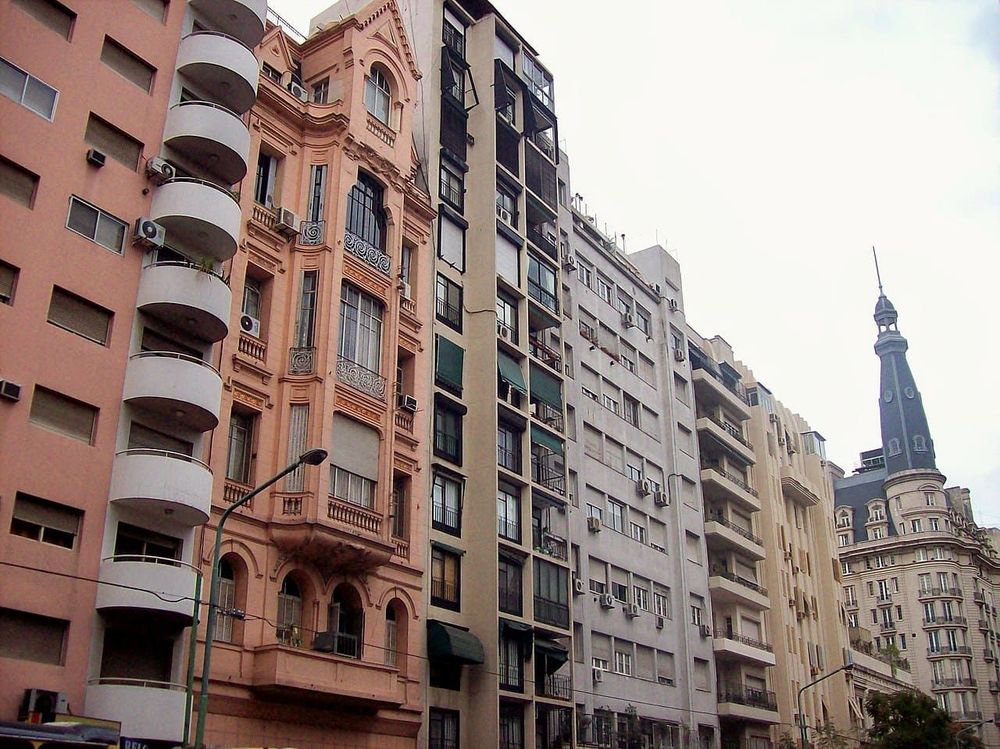
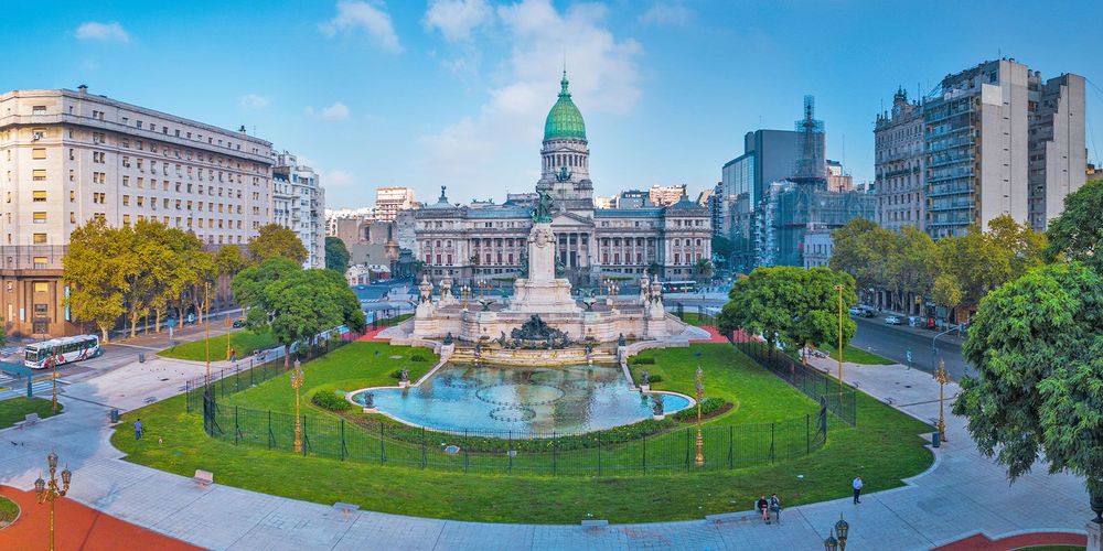
©Roberto Fiadone CC BY-SA 3.0. <https://creativecommons.org/licenses/by-sa/3.0/deed.fr>via Wikipedia Commons
The Avenida Callao is one of the important arteries of Buenos Aires, entirely declared a historic protection zone. Lined with fine buildings, it testifies to the elegance of the capital. The Buenos Aires audio-guided tour takes it to evoke this avenue full of heritage, linking great districts of the city.
The Avenida Callao is one of the main arteries of Buenos Aires, entirely classified as a historic protection zone because of the richness of its architectural heritage. Lined with elegant buildings, often in a style inspired by Europe, it crosses several districts and intersects the great avenues of the city. It illustrates the golden age of Buenos Aires, when the capital rivalled the great European cities.
You admire the fine façades of the buildings, a legacy of the golden age of Buenos Aires, as well as the cafés and shops that enliven the avenue. The Avenida Callao notably intersects the Avenida Corrientes and the 9 de Julio. It is a stop for lovers of architecture, during a walk in the Argentine capital.
The Avenida Callao crosses several districts of central Buenos Aires, reachable on foot and by public transport. It is a public avenue, freely accessible and on the level; the cafés and shops have their own hours. You walk along it to admire its façades and reach the great avenues of the city.
Because it has been entirely declared a historic protection zone, due to the richness of its architectural heritage, a legacy of the golden age of Buenos Aires.
It notably intersects the Avenida Corrientes and the 9 de Julio, great avenues of central Buenos Aires.
Aucun avis pour le moment