© Shutterstock
 Votre guide Ryo
Philadelphia Without a Car: SEPTA, Indego, and the Best Car-Free Neighborhoods for 2026
Center City Philadelphia was laid out by William Penn in 1682 as a strict grid of numbered streets and public squares, long before anyone imagined a car would need to fit between the rowhouses. That accident of 17th-century planning is a big part of why Philadelphia without a car works better than in almost any other large American city: the oldest neighborhoods are also the most walkable ones. Ryo's audio-guided tour of Philadelphia follows that same grid on foot, pointing out what's easy to miss when you're hunting for a parking spot instead of a historical marker.
This guide covers what actually gets you around: the SEPTA Metro and Regional Rail lines that reach the airport and the suburbs, the Indego bike share docks that seem to appear every few blocks, the purple PHLASH loop bus that circles the historic sites for $5 a day, and the walk itself, which covers more ground than most first-time visitors expect in a single afternoon. It also gets into the parts nobody puts in the brochure: when ridesharing quietly becomes an expensive habit, which neighborhoods make car-free living realistic beyond a weekend trip, and what a SEPTA Key actually costs next to owning a car in a city where street parking can eat an entire morning.
Is Philadelphia actually walkable without a car?
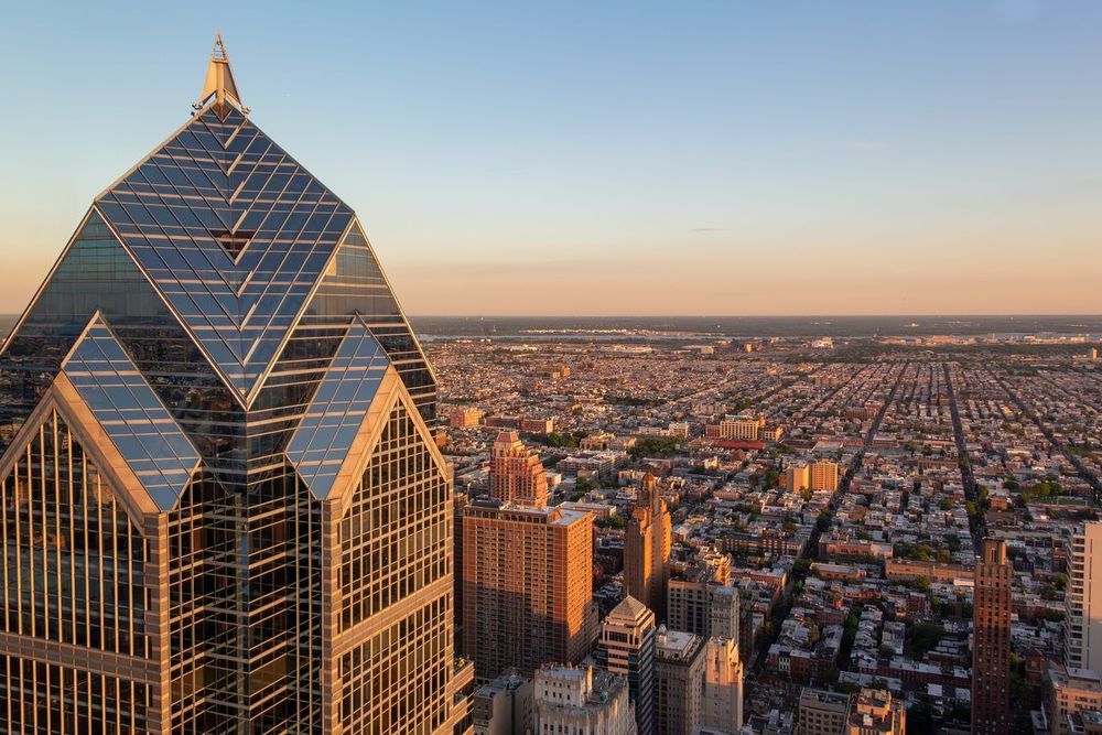
Philadelphia's defenders like to call it a 15-minute city, and on a Tuesday afternoon in Center City, that claim mostly holds up. Penn's original grid between the Delaware and Schuylkill rivers packs grocery stores, pharmacies, transit stops, and a dozen lunch options into blocks you can cross in under ten minutes. Walk from Rittenhouse Square to Independence Hall and you've covered two entirely different historical eras in about 25 minutes, no parking garage required.
The fuller version of that claim gets more complicated on weekends. Residents who've tried going fully car-free often describe a city that functions as a 15-minute city on weekdays and something closer to a 60-minute city on Saturday, when SEPTA trims its schedule, destinations spread out, and a convenient weekday walk to brunch turns into a 40-minute wait for a bus that runs every half hour. The compact, walkable Philadelphia that shows up in travel articles is real, but it's concentrated in a handful of neighborhoods: Center City, South Philly, University City, and a strip along the river wards. Outside that core, car-free life strains fast.
That matters for how you plan a trip. If you're staying in Rittenhouse Square or Old City for a long weekend, you can realistically skip a rental car altogether and lean on walking, Indego bikes, and the subway. If your itinerary includes the suburbs, a game at the South Philly stadium complex on a weeknight, or a day trip toward Valley Forge, you're looking at SEPTA Regional Rail or a rideshare, not a leisurely walk.
One pattern shows up again and again in accounts from people who've given up their car here: Ubering constantly to cover the gaps gets expensive, and a little miserable. A $14 rideshare here and a $19 one there adds up to real money by the end of a month, and it defeats the point of being in a walkable city in the first place. The people who make car-free Philadelphia work tend to default to walking and transit first, and treat rideshares as the occasional exception rather than the backup plan for every errand.
So should you have a car in Philadelphia? For a visit of a few days centered on Center City and the historic district, no. For longer stays that stretch into the outer neighborhoods, or if your schedule depends on weekend transit that runs infrequently, a car, or at least a short-term rental for specific days, earns its keep. The rest of this guide breaks down exactly which option fits which situation.
Getting to Philadelphia without a car
Most visitors reach Philadelphia without ever needing a car at either end of the trip, mostly because the city sits almost exactly between Washington, D.C. and New York on the Northeast Corridor. Whichever way you're coming from, there's a decent chance a train, plane, or bus gets you into the center of the city faster than driving would, parking garage included.
Arriving by train or plane
Philadelphia International Airport) sits about 8 miles southwest of Center City, and SEPTA's Airport Line runs Regional Rail trains directly from the terminals to Center City stations, including Suburban Station and Jefferson Station, in roughly 20 to 25 minutes. The airport counts as the top Regional Rail fare zone, so expect to pay $8.75 one way. Trains run every half hour or so through most of the day. Taxis charge a flat $32 from the airport to the Center City zone (between the two rivers, Washington Avenue and Fairmount Avenue), and rideshares land somewhere around that price depending on demand and time of day.
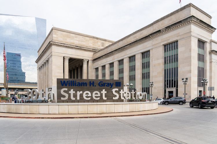
Arriving by Amtrak is, if anything, even more convenient. 30th Street Station (2955 Market St, Philadelphia, PA 19104, rated 4.4/5 on Google (2 359 avis)) in University City is one of the busiest Amtrak stations in the country, served by Northeast Regional trains, the faster Acela, and Keystone service from Harrisburg and points west. It's also a SEPTA Regional Rail and Metro hub, so getting from the platform to a Center City hotel usually takes one more short train ride, not a cab. Amtrak links Philadelphia with New York in about 75 to 90 minutes and with Washington, D.C. in under two hours, which is why so many weekend visitors skip driving entirely. Fares swing widely by how far ahead you book; a Tuesday morning trip from New York can run under $50, while a Friday evening departure often costs double.
Arriving by bus
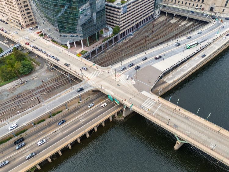
Intercity buses, Greyhound, Megabus, FlixBus, and the various Chinatown bus operators among them, all land within reach of Center City, usually around Chinatown or near 30th Street Station. Fares run noticeably cheaper than train tickets, especially booked in advance, though travel time from New York can stretch to two hours or more depending on traffic on the New Jersey Turnpike and I-95. That keeps the first leg of a car-free visit simple: arrive by bus, take one SEPTA ride or a short walk to your hotel, done. For a short hop with a loose schedule and a tighter budget, the bus is a perfectly reasonable way to arrive without ever touching a steering wheel. Once you're here, Ryo's Philadelphia audio tour picks up right where the train or bus drops you off, built to be started from wherever you're standing in the historic core.
Walking and biking: the car-free core
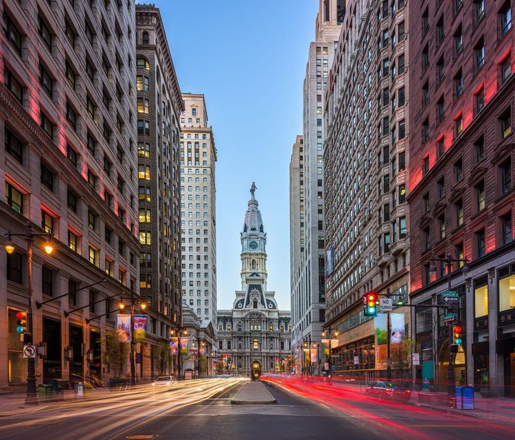
Walking in Philadelphia doesn't require much strategy, which is rare for an American city of more than 1.5 million people. Penn's original plan still holds: straight numbered streets running north-south, named streets running east-west, and five public squares breaking up the grid at regular intervals. Get your bearings once near Philadelphia City Hall), sitting at the dead center of that grid where Broad and Market streets cross, and the rest of downtown more or less explains itself.
Philadelphia on foot: the walkable grid
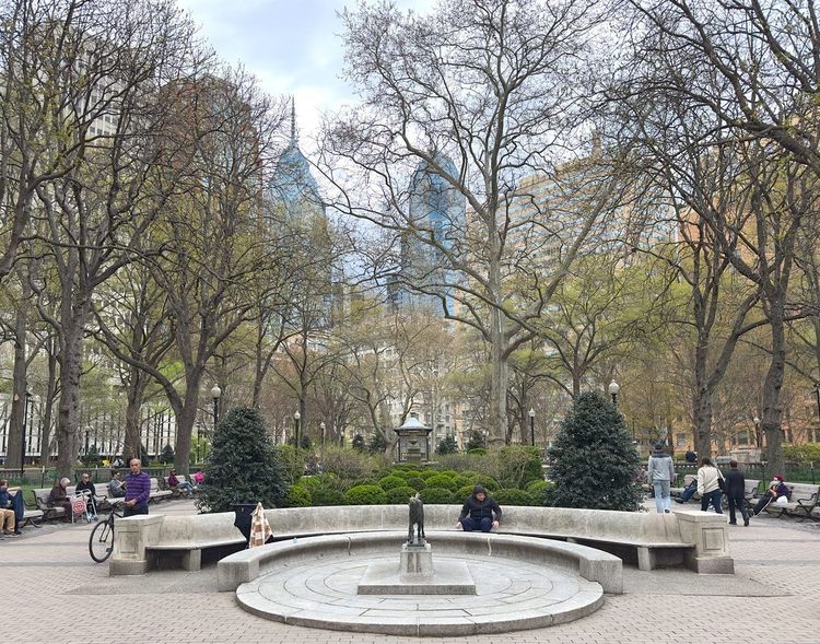
Center City rewards walking because distances are shorter than they look on a map. Rittenhouse Square) to Reading Terminal Market) is about 15 minutes on foot, and the market to Independence Hall is another 15. Add in the fact that many side streets are tree-lined and quieter than you'd expect this close to downtown, and a full day of sightseeing without touching transit at all is a realistic plan, not a stunt.
The grid gets looser outside Center City, but not unwalkable. Old City's cobblestone streets around Elfreth's Alley (124-134 Elfreth's Alley, Philadelphia, PA 19106, rated 4.7/5 on Google (3K reviews)), said to be the oldest continuously inhabited residential street in the country, are narrow enough that most visitors cover the whole historic district on foot without noticing the mileage. South Philly's rowhouse blocks and University City's campus paths follow the same logic: dense, mostly flat, and laid out for someone walking rather than driving through.
Where it gets harder: crossing some of the wider arterial roads, Broad Street, Delaware Avenue, and the approaches to the bridges among them, involves long waits at a handful of intersections, and sidewalk quality drops off noticeably once you're past the river wards or deep into West Philadelphia's residential blocks. None of that cancels out how walkable the core is. It just means a 20-minute walk sometimes beats a 10-minute walk on paper because of how the crossings line up.
Indego bike share: stations, passes, routes
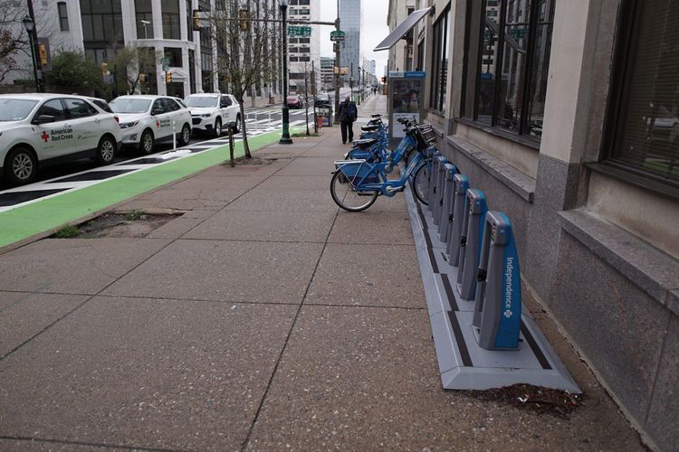
Indego is Philadelphia's bike share system, with docking stations spaced every few blocks across Center City, South Philly, University City, and increasingly the river wards. A single ride costs $4.50 for 30 minutes on a classic bike, a 24-hour pass runs $15 for unlimited rides of up to an hour each, and the Indego30 monthly pass ($20) or the annual Indego365 membership brings the per-ride cost down for anyone staying longer. The fleet mixes standard pedal bikes with electric-assist models (billed per minute on top of your pass), which flattens out Philadelphia's few hills, mostly around Fairmount Park and the approach to the Art Museum.
Routes worth knowing: the Schuylkill River Trail runs from near the Art Museum down past University City, a flat, mostly car-free path that's one of the better ways to see the skyline from the water. The Delaware River waterfront trail covers similar ground on the east side, linking Penn's Landing up toward Fishtown. Riding one way and walking back, or docking at a different station entirely since Indego doesn't require returning a bike to its starting point, is a normal way to use the system rather than an edge case.
That kind of walking is exactly what the Ryo audio tour is built around: stops trigger by location rather than a fixed schedule, so the story about a rowhouse courtyard or a hidden mural shows up right as you're standing in front of it, whether you got there on foot or coasted past on an Indego bike.
SEPTA and the Philly PHLASH: public transit essentials
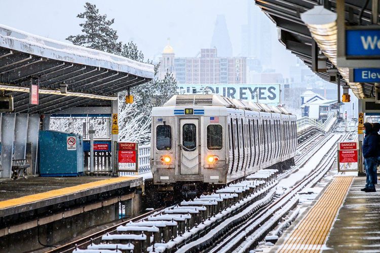
SEPTA, the Southeastern Pennsylvania Transportation Authority, runs Philadelphia's entire public transit network, and for anyone without a car, it's the backbone of getting anywhere beyond walking distance. The system looks sprawling on paper: two subway lines, a network of trolleys, 13 Regional Rail lines reaching into the suburbs, and city buses covering practically every corner. In practice, you mostly need to understand three pieces of it.
SEPTA subway, trolleys, and Regional Rail
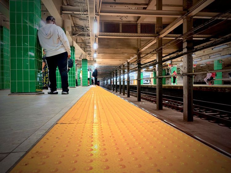
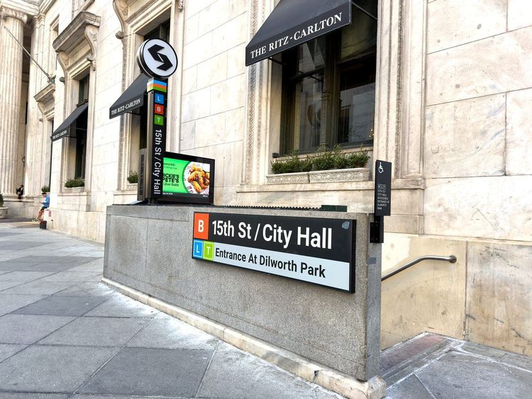
Since SEPTA rebranded its rail transit as SEPTA Metro in 2025, the two subway lines go by letters on maps and signs. The L (the Market-Frankford Line, still called « the El » by most locals) runs east-west under Market Street, and the B (the Broad Street Line) runs north-south. Together they cover most of what you'll need: Center City, the sports stadiums in South Philly, Chinatown, and University City via the L's stop next to 30th Street Station. Both run frequently on weekdays, less so late at night and on weekends, which loops back to that 15-minute-city-on-weekdays caveat from earlier.
Trolleys, now signed with a T, cover a handful of additional routes, mostly in West Philadelphia and the southwest. They're worth knowing about if you're headed toward University City's residential edges rather than the campus core.
Regional Rail is the piece most visitors underuse. Thirteen lines radiate out from Center City's main hubs, Suburban Station, Jefferson Station, and 30th Street Station, reaching the airport, the Main Line suburbs, Chestnut Hill, and towns well outside the city that would otherwise require a car. Fares are zone-based, from about $5 in Zone 1 up to $11 for the New Jersey terminals, but for a day trip to Chestnut Hill's shopping district or a Main Line house tour, Regional Rail beats renting a car for the day by a wide margin.
A SEPTA Key card, or a contactless bank card tapped on the fare readers, covers bus, trolley, and Metro rides at a flat $2.90 per ride, a fare that went up in 2025. Regional Rail tickets can be bought through the SEPTA app or at station kiosks. Tip: tap the same card every time, since transfers are tracked on the card you use.
The Philly PHLASH downtown loop
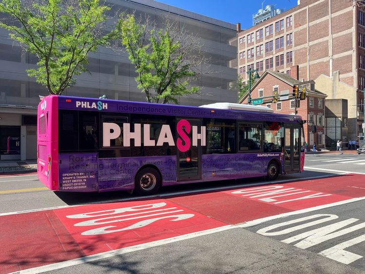
The Philly PHLASH is the purple bus loop built specifically for visitors, circling the stops that cover almost every major historic and cultural site downtown: Independence Hall, the Liberty Bell Center, the Philadelphia Museum of Art, Eastern State Penitentiary, Reading Terminal Market, and Penn's Landing among them. In 2026 it runs from late March to mid-December, daily from late May through August and Friday to Sunday the rest of the season, with a bus roughly every 15 minutes between 10 a.m. and 6 p.m. A one-day pass costs $5, a family pass $15, and here's the detail most visitors miss: SEPTA Key cardholders, young children and seniors ride free.
The PHLASH's appeal is less about speed, walking sometimes beats waiting for the loop, and more about covering the stretch between sites that are each individually walkable but add up to a lot of ground across a full day, like the distance between the Art Museum steps and Old City's colonial core. For a single afternoon trying to hit both ends of that corridor, the PHLASH saves your feet for the parts worth lingering over. More than a few of its stops overlap with the Ryo audio guide's route through downtown, so you can ride the loop to a stop, pick the commentary back up on foot, and hop on again once your legs are ready for a break.
Other regional transit: PATCO, NJ Transit, and Amtrak
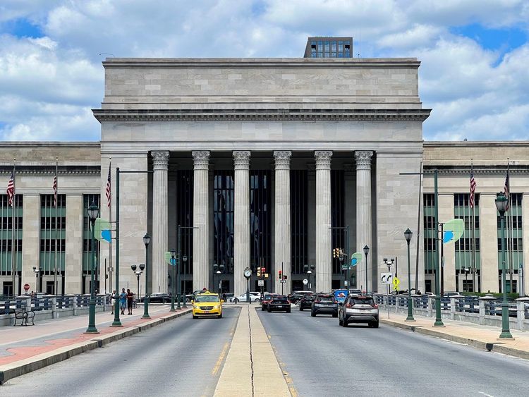
For day trips across the river or connections further up the Northeast Corridor, Philadelphia has more regional transit than most visitors realize, though none of it matters much unless your itinerary stretches beyond the city itself.
PATCO Speedline to New Jersey
The PATCO Speedline runs a single line connecting Center City, with stops at 8th & Market and along Locust Street, to Camden and towns further into South Jersey, including Cherry Hill and Lindenwold. It runs around the clock, which makes it one of the more reliable late-night options if you're staying across the river. Fares scale with distance but stay well under $4 for most trips, and trains come every 10 to 20 minutes outside the overnight hours.
NJ Transit and Amtrak regional connections
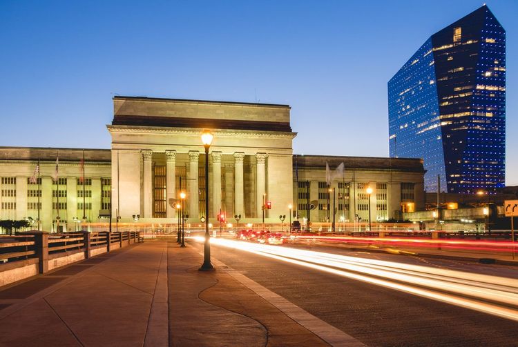
NJ Transit buses and the River Line light rail, connecting Camden to Trenton, extend the reach further into New Jersey, useful mainly for day trips toward Trenton or coordinating with Jersey Shore travel. Less obvious: NJ Transit's Atlantic City Rail Line actually departs from 30th Street Station, offering a car-free route to the Atlantic City boardwalk and casinos in about 90 minutes, a detail that rarely makes it into visitor guides. Amtrak, already covered above for arrivals, doubles as a same-day regional option too, since a quick hop to Wilmington or Trenton often departs from the same platforms as the long-distance trains.
None of these services compete with SEPTA for getting around Philadelphia itself, but together they're why a car-free Philadelphia trip doesn't have to mean skipping South Jersey or Delaware. Renting a car for one day to reach somewhere PATCO or NJ Transit already covers is rarely worth the parking hassle on the New Jersey side of the bridges.
Rideshares, taxis, and rental cars for the occasional trip
Even committed car-free visitors end up opening a rideshare app at some point, usually late at night or hauling luggage somewhere transit doesn't reach directly. Uber and Lyft both operate heavily in Philadelphia, with fares that run reasonable during the day and climb fast during rush hour, bad weather, or big events at the stadium complex. Airport pickups route through dedicated rideshare zones rather than the regular curb, which is worth knowing before you start searching for your driver in traffic.
Traditional taxicabs still exist, hailed on the street in Center City or called through a dispatch service, and they remain the more straightforward option right outside the airport terminals or train stations, where a flat-rate taxi line often beats waiting for a rideshare to find you. Limousine and black car services operate on request, mostly for airport transfers or events, and cost noticeably more than either option above.
Rental cars and car-share services (Zipcar has a notable Philadelphia presence with cars scattered through Center City and University City) make more sense as a day-or-two rental for a specific purpose: a trip to the Brandywine Valley, a Jersey Shore day, or hauling something too big for the subway, rather than a default way to get around downtown. Renting by the hour through a car-share app sidesteps the daily rate and the parking headache that comes with owning a car here, which matters more than it sounds given how tight street parking gets in the older neighborhoods. A rented car also sits idle (and often ticketed) for most of a typical sightseeing day, which is the math that convinces most short-term visitors to skip it.
The practical advice, echoed by people who've actually tried going car-free here, is to treat rideshares and rentals as the exception for a specific trip, not the daily habit. That's the difference between a reasonable monthly transit cost and a surprise $300 Uber bill at the end of the month.
Skip the car with guided tours and audio walks
Most guides to getting around Philadelphia without a car stop at transit directions and walking routes. Fewer mention that skipping the car also means skipping the traditional way most visitors « see » a city: the hop-on-hop-off bus tour.
Philadelphia has plenty of those. Operators such as Big Bus run open-top double-decker loops through the historic district and past the museums, with all-day tickets that let you get on and off at marked stops. They work fine if a fixed schedule and recorded narration piped through speakers is what you're after, and walking tours fill the rest of the menu, from Revolutionary War history to ghost walks and food crawls through the Italian Market.
The alternative, and the one that actually fits a car-free trip better, is a self-guided audio walk. Ryo's self-guided audio tour of Philadelphia runs from your phone, starts the moment you're ready rather than at a fixed departure time, and triggers its commentary by GPS as you walk past each stop, not on a bus schedule you have to catch. There's no bus to flag down, no group pace to match, and no ticket window to find before you start, which matters on a trip already built around not needing a vehicle. Its « city of ideas, art and memory » route threads through the layered history of the core, the kind of connective detail a 90-second recording over a bus PA system rarely has room for.
For a car-free visitor, that distinction is more practical than it sounds. A bus tour means working your day around its departure times. An audio walk means the walk fits into whatever's already the plan, whether that's a quiet morning before the museums open or killing an hour waiting for a dinner reservation.
Best car-free neighborhoods to stay in Philadelphia
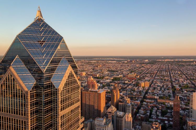
Where you stay determines more than anything else whether « Philadelphia without a car » feels effortless or like a daily negotiation. The neighborhoods below are the ones that come up again and again in both visitor guides and accounts from residents who've actually ditched their cars, grouped by how they cluster on the map.
Rittenhouse Square and Center City
Rittenhouse Square anchors the most car-free-friendly stretch of the entire city: a leafy park ringed by restaurants, boutiques, and some of Philadelphia's priciest, and most walkable, real estate. Staying here puts you within a 15-minute walk of City Hall, Reading Terminal Market, and both Metro lines, plus Indego docks within a block or two. It's also the most expensive of the neighborhoods on this list, which is the trade-off for maximum convenience.
Center City more broadly, stretching from the Schuylkill to Broad Street, shares the same logic at a slightly lower price point the further you get from the square itself. Either way, you're a short walk or one subway stop from everything the PHLASH loop covers.
Old City, Society Hill, and Washington Square West
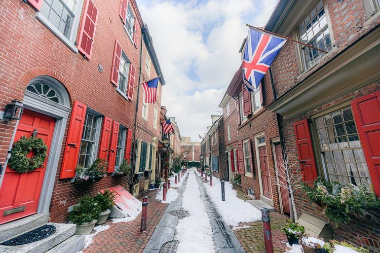
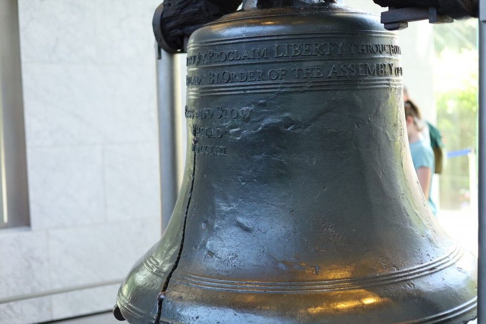
Old City and Society Hill hold Philadelphia's colonial-era core: cobblestone streets, Elfreth's Alley, Independence Hall), and the Liberty Bell, all within a compact, flat, intensely walkable grid. Staying here means waking up inside the postcard version of the city, with the trade-off being fewer late-night dining options and a quieter nightlife scene than Rittenhouse.
Washington Square West, just west of Society Hill, splits the difference: still walkable to the historic sites, but with a livelier restaurant and bar scene and easy access to the B line and PATCO. Together, these three neighborhoods form the single most tourist-friendly, car-free-ready stretch of the city, and it's no accident that most first-time hotel recommendations cluster right here.
Queen Village and East Passyunk (South Philly)
South Philly trades a bit of polish for character. Queen Village, just south of Society Hill along the Delaware waterfront, is the gentler entry point: rowhouse-lined streets, a handful of excellent small restaurants, and a short walk or quick bus ride to Center City.
East Passyunk, centered on the diagonal avenue of the same name, goes further into the neighborhood feel: Italian Market spillover, independent restaurants that don't show up on the first page of a tourist search, and a community that's visibly less transient than Center City's hotel-heavy blocks. Transit coverage thins out a bit this far south, and the B line's southern stops are your main lifeline, so it suits you if you're comfortable walking 15 to 20 minutes or budgeting a few more rideshares than you would need in Rittenhouse.
University City and West Philadelphia
University City, home to the University of Pennsylvania (3451 Walnut St, Philadelphia, PA 19104, rated 4.7/5 on Google (10K reviews)) and Drexel, sits directly across the Schuylkill from Center City and functions as its own self-contained walkable hub: cafes, bookstores, and a steady student-driven energy, plus the convenience of 30th Street Station sitting right at its edge.
West Philadelphia beyond the university core gets more residential and more mixed in terms of walkability, but the trolley lines and the L's western stops keep it connected. If you want proximity to the train station and a quieter, more local feel than the historic district, University City is worth serious consideration, especially since it's a few minutes by Metro from Center City proper.
Fishtown, Northern Liberties, and the River Wards
North and east of Old City, Fishtown and Northern Liberties have become Philadelphia's answer to Brooklyn: converted warehouses, a dense cluster of bars and music venues along Frankford Avenue, and noticeably younger energy than the historic district. The trade-off is transit: the L covers Fishtown reasonably well, but Northern Liberties leans more on buses and walking, and neither sits in easy walking distance of Independence Hall the way Old City does.
The broader river wards stretch further along the Delaware, trading convenience for character and lower prices, and reward visitors staying a week or more rather than a long weekend.
Choosing between them comes down to what kind of trip you're planning. A first visit focused on the big historic sites fits Old City or Washington Square West best. A longer, more immersive stay fits Fishtown or Queen Village. And if convenience to the train station and the airport line matters most, University City is hard to beat. Worth noting: the Ryo audio guide's route through the historic core already threads through several of these neighborhoods, from Old City's alleys to the edges of Society Hill, so booking a room along its path means part of the sightseeing is mapped out on foot before you've even checked in.
Driving and parking in Philadelphia, if you still bring a car
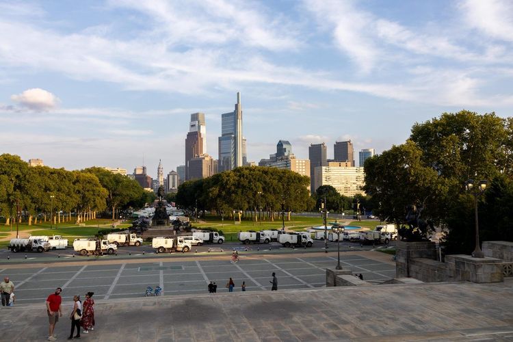
Some visitors and residents land somewhere in between and still bring a car, usually because of a job, a kid's schedule, or a long commute to the suburbs that transit doesn't cover well. If that's you, Philadelphia's driving and parking reality is worth knowing upfront.
Street parking and permit zones
The Philadelphia Parking Authority enforces residential permit parking zones across most of Center City and the inner neighborhoods, which means long-term street parking without a local permit is hard to find during the day. Meters run on a pay-by-phone or kiosk system, typically a few dollars an hour in the densest zones, with enforcement that's notoriously thorough. Overstay the posted limit in a residential zone and you risk a ticket even if the block looks half empty, and visiting drivers are rarely spared.
Driving itself in the city compounds the parking problem: narrow one-way streets in Old City and Society Hill, aggressive double-parking that narrows already tight lanes, and a grid that wasn't built with modern traffic volume in mind. One exception worth knowing: free parking along parts of Kelly Drive and around Fairmount Park fills up early on weekends, but it's one of the few no-cost options this close to Center City. Overall, driving here is manageable, but it's rarely faster than walking or the subway for anything inside Center City itself.
Garages and EV charging
Parking garages cluster around Center City, the Convention Center, and the sports stadium complex, with daily rates commonly running $20 to $40 depending on location and event schedules. Booking ahead through a parking app often beats the drive-up rate, especially near the stadiums on game days, when prices can spike well above the usual range.
Electric vehicle charging has expanded steadily across the city, with Level 2 and some fast-charging stations now showing up in several Center City garages, at a handful of Wawa locations, and scattered through the suburbs along the major highways. Coverage is still noticeably thinner than in cities with longer-standing EV infrastructure, so if you're driving an EV into Philadelphia for an extended stay, plan charging stops rather than assume convenience.
Accessibility for car-free travelers
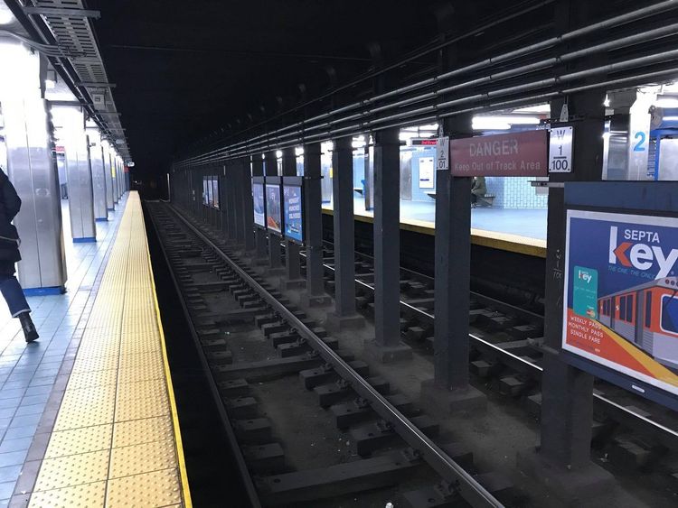
Going car-free doesn't have to mean going without accessible transit, though Philadelphia's older infrastructure makes it more uneven than newer cities. Elevator access varies station by station on both the L and the B, and several older stops still connect to the platform by stairs only, so checking SEPTA's accessibility map before your trip pays off if elevator access is non-negotiable. Most Regional Rail stations in Center City are accessible, and buses across the system use low-floor boarding with ramps.
On foot, Center City's sidewalks are mostly in decent shape with curb cuts at intersections, though the colonial-era cobblestones in Old City and parts of Society Hill present a real obstacle for wheelchairs or anyone with mobility limitations. The PHLASH buses are wheelchair accessible, as are most tour operators' vehicles on request. SEPTA's paratransit service, CCT Connect, covers door-to-door trips for riders who qualify, extending reach well beyond what fixed-route transit alone covers.
Budget, transit passes, and seasonal tips
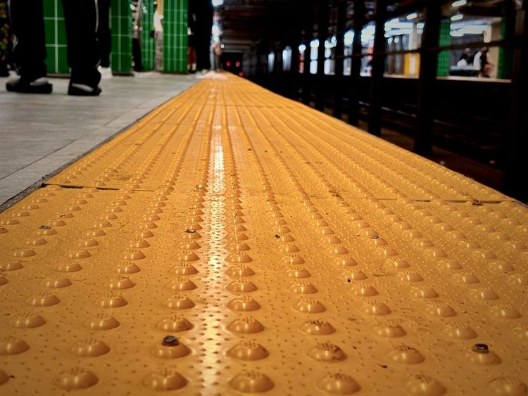
A monthly SEPTA TransPass+ with unlimited bus, trolley, and Metro rides costs $116, and the weekly version $31, which now also covers Regional Rail in Zone 1. That's a fraction of what AAA estimates the average American spends owning and maintaining a new car each year, a figure that routinely clears $11,000 once insurance, fuel, depreciation, and financing are factored in. For a short visit, a SEPTA Key loaded with pay-per-ride credit or a weekly pass covers most needs without the commitment of a monthly product.
A rough breakdown for a short trip:
- Single bus, trolley, or Metro ride: $2.90
- Airport Line to Center City: $8.75
- Indego 24-hour pass: $15
- PHLASH day pass: $5, free with a SEPTA Key card
- SEPTA weekly TransPass+: $31
- Average daily cost of owning a car, insurance and parking included: often $35 or more, even parked most of the day
Indego adds another layer for longer stays: the Indego30 pass at $20 a month brings per-ride costs down to pennies for frequent riders, and reduced-rate memberships exist for income-qualified residents. Stack a transit pass and an Indego membership together and the combined monthly cost still lands well under what a single car payment plus insurance costs in most of the country.
Seasonally, winter changes the calculus more than most visitors expect. Cold, wet sidewalks make the walk from a Regional Rail platform or a bus stop less pleasant, the PHLASH stops running after mid-December, and SEPTA schedules can thin out around holidays. September, by contrast, tends to hit the sweet spot: comfortable walking weather, the PHLASH still running on weekends, and smaller crowds than peak summer at the historic sites.
One minor but useful option: the seasonal RiverLink Ferry crosses the Delaware between Penn's Landing and the Camden waterfront from May to October, mainly useful for reaching the Adventure Aquarium or a concert at the Freedom Mortgage Pavilion without dealing with bridge traffic. It's not a daily commuting option, but it's a pleasant 12-minute alternative to a rideshare across the river on the right afternoon.
Between the pass options, the bike share, and the seasonal quirks above, the cost and timing math for a car-free Philadelphia trip usually works out in your favor, especially if you build the walking and transit into the plan from day one rather than treating a self-guided audio walk and SEPTA as afterthoughts to a rental car reservation.


FAQ
Is it possible to live in Philly without a car?
Yes, for residents centered in Center City, South Philly, University City, or the river wards, where SEPTA, Indego, and walking distance cover groceries, work commutes, and most social life. It gets harder in the far Northeast or outer Southwest neighborhoods, where transit thins out and distances stretch beyond a comfortable walk or bike ride.
Is Philly a walkable city?
Largely yes, especially in the Penn-era grid covering Center City, Old City, Society Hill, and parts of South Philly, where distances between sights and amenities are short and sidewalks are generally well maintained. Walkability drops off in outer residential neighborhoods and on weekends, when destinations can feel farther apart due to reduced transit frequency.
What is the best place to stay in Philadelphia without a car?
For most visitors, Rittenhouse Square or Old City and Society Hill offer the easiest car-free stay: dense amenities, strong transit access, and walking distance to the major historic sites. University City suits travelers prioritizing proximity to 30th Street Station and the airport line.
Should you have a car in Philadelphia?
Not for a short trip focused on Center City and the historic district. A car, or a short-term rental, earns its keep for suburban day trips, events far from transit, or an extended stay with regular trips to the outer neighborhoods where SEPTA coverage weakens.
How do you get from Philadelphia International Airport without a car?
SEPTA's Airport Line runs Regional Rail trains directly from the terminals to Center City in about 20 to 25 minutes for $8.75 one way, departing roughly every 30 minutes through most of the day. Taxis charge a $32 flat rate to the Center City zone, and rideshares pick up from dedicated zones at each terminal.
Is SEPTA safe and reliable for visitors?
SEPTA is generally safe and reliable during daytime and early evening hours, with frequent service on the main Metro lines. Like most big-city transit systems, it's worth staying alert late at night and checking real-time arrivals on the SEPTA app, since weekend and overnight schedules run noticeably less frequently.
How much does Indego bike share cost?
A single 30-minute ride on a classic bike costs $4.50, a 24-hour pass with unlimited rides of up to 60 minutes costs $15, and the Indego30 pass ($20 a month) or an annual membership brings the per-ride cost down substantially for regular users. E-bike rides add a per-minute fee.
Final thoughts on exploring Philadelphia car-free
Philadelphia makes a strong case for skipping the rental car altogether. Between the walkable Penn grid, SEPTA's reach into the airport and the suburbs, Indego's bike docks across the core, and a PHLASH loop built specifically for visitors, the pieces are all there, provided you pick a neighborhood that plays to those strengths rather than against them.
Start wherever you land, whether that's 30th Street Station, the airport Regional Rail platform, or a bus stop near Chinatown, and the rest tends to fall into place on foot. If you want a head start on the historic core before you've even checked into your hotel, Ryo's audio-guided walk through Philadelphia can be picked up anywhere along its route through the city's oldest streets: no car, no bus schedule, and no rental return deadline required.