© Shutterstock
 Votre guide Ryo
Hiking around Colmar: Castles, Vosges Lakes, and Wine Village Trails in 2026
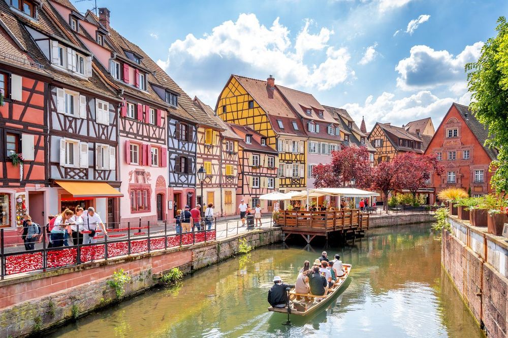
From the canals of Petite Venise, you only need to look west to understand the appeal of hiking around Colmar: the Vosges ridges close off the horizon less than half an hour's drive away, and between the two stretches a vineyard laced with trails marked by the Club Vosgien, an association founded in 1872 that today maintains nearly 20,000 kilometres of paths through the massif. Few French cities offer such contrast within such a short radius, from the Ryo audio-guided tour of Colmar to glacial lakes perched at over 1,000 metres.
You can string together three ruined castles above Ribeauvillé in a single loop, dip a foot into the barely warm water of lac Blanc in midsummer, or climb to the Grand Ballon to glimpse the Alps on a clear day. In between, the vineyards of Eguisheim and Riquewihr offer flat, shaded routes walkable even with a pushchair. Eleven families of itineraries are detailed here, from the most demanding to the most leisurely, with distances from the city, parking information, and the best season for each.
A word on trail markings before you set off: a red rectangle signals the major ridge routes, including the famous GR5 running north to south through the massif, while coloured diamonds, triangles, crosses and rings mark local loops. A 1:25,000 map remains useful once you leave the vineyard, as the trail network is so dense that you can take a wrong turn without noticing. Allow 20 minutes' drive for the nearest trailheads, 45 for the furthest.
The Must-Do Castle Hikes around Colmar
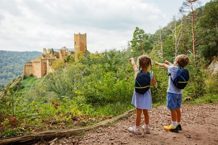
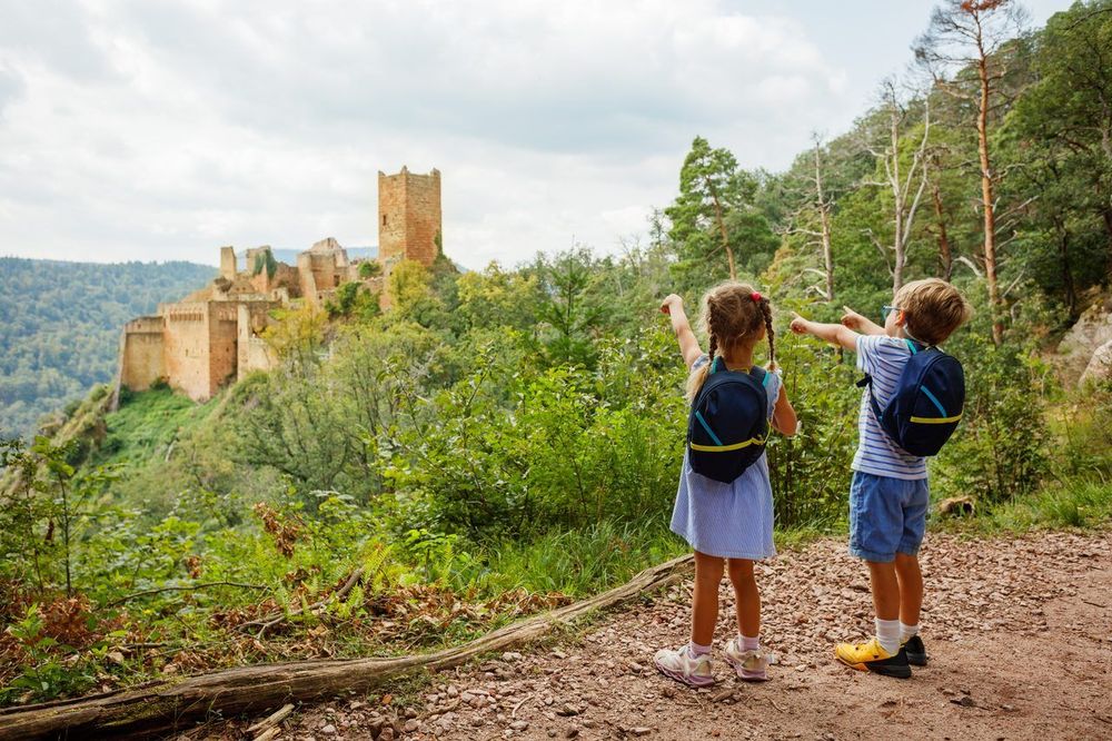
The Alsatian vineyard is dotted with feudal ruins perched on rocky spurs, remnants of the rivalry between medieval lords and the Habsburgs' coveting of this natural border. Three areas concentrate most of the castles accessible on foot from the city: Ribeauvillé to the north, Wintzenheim right on Colmar's doorstep, and Saint-Hippolyte further north towards the Bas-Rhin. If you are after heritage at every turn, this is the logical starting point. For more heritage suggestions, see our article on what to see around Colmar, which complements this selection dedicated to walking routes.
The Three-Castle Loop of Ribeauvillé
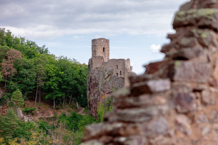
The most popular loop in the area climbs from the centre of Ribeauvillé to the three silhouettes that dominate the vineyard: the château de Saint-Ulrich, the largest and best-preserved of the three with its still-legible knights' hall, the château du Girsberg, more modest and set on a narrow pinnacle, and the château du Haut-Ribeaupierre, right at the top of the spur. Allow around three hours to complete the full circuit, with a cumulative elevation gain of close to 400 metres.
The trail first winds through the vineyards before crossing into woodland, with two or three viewpoints where the Alsatian plain opens up all the way to the Black Forest on a clear day. The final ascent to Haut-Ribeaupierre is the steepest: wear sturdy shoes, as the path becomes stony over the last hundred metres. It is also one of the rare routes in the region where you encounter three distinct castles without descending back to the valley floor between each one, making it a reliable choice for a half-day outing. A small bonus for the curious: the trail passes near the Strengbach catchment, a forested basin monitored since the 1980s by hydrologists measuring the effects of acid rain on Vosges soils.
Château du Hohlandsbourg, Pflixbourg, and the Wintzenheim Forest
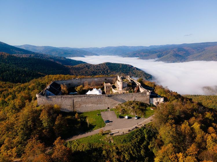
A few kilometres from the city, the Wintzenheim forest hides other ruins, less well known than those of Ribeauvillé but far quicker to reach. The château du Hohlandsbourg, built in the late 13th century and partially restored, open to visitors from April to November, commands the plain from a promontory that offers one of the finest panoramas over Colmar and the Black Forest.
The Route des Cinq Châteaux, which follows the wooded ridge between Wintzenheim and Husseren-les-Châteaux, allows you to link on foot the Hohlandsbourg, the round tower of Pflixbourg and the three keeps of Eguisheim — the Weckmund, the Wahlenbourg and the Dagsbourg — aligned along a single ridge. On the Wettolsheim side, the château du Hagueneck is reached via a shaded forest path that is particularly pleasant in summer. The full loop connecting these sites covers around 11 kilometres and remains easy-going, without the technical sections of Ribeauvillé. Further south, in an entirely different area, the château du Hugstein guards the entrance to the Lauch valley on the borders of Buhl and Guebwiller: at 25 kilometres from Colmar, it pairs well with the day trip to lac de la Lauch described later.
Towards Haut-Koenigsbourg from Saint-Hippolyte
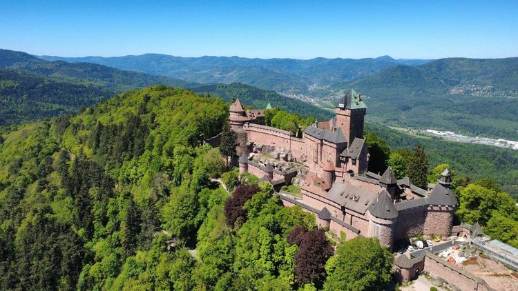
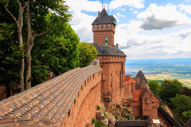
The most iconic of Alsace's castles requires a little more effort: from Saint-Hippolyte, allow around four hours return to reach the château du Haut-Koenigsbourg (68660 Orschwiller, rated 4.7/5 on Google with 43,444 reviews), rebuilt from its ruins between 1900 and 1908 on the orders of Emperor Wilhelm II and now one of the most visited paid monuments in France.
You can vary the return route by passing through the Montagne des Singes, a wildlife park in Kintzheim where several hundred Barbary macaques roam semi-freely across around thirty hectares of forest, just below the castle. The elevation gain — around 500 metres — makes this the most demanding castle hike in this selection, but also the one that passes through the greatest variety of landscapes: vineyards at the base, beech forest at mid-height, then open rocky ridge for the final kilometres. Note that a seasonal shuttle links Sélestat station to the castle: handy if you prefer to walk up and take a different route down.
The Taennchel and the Galtz: Two Summits Not to Miss
Two names come up consistently in local recommendations, and for good reason: they combine a manageable elevation gain with a panorama disproportionate to the effort required.
The Taennchel and Its Granite Boulders
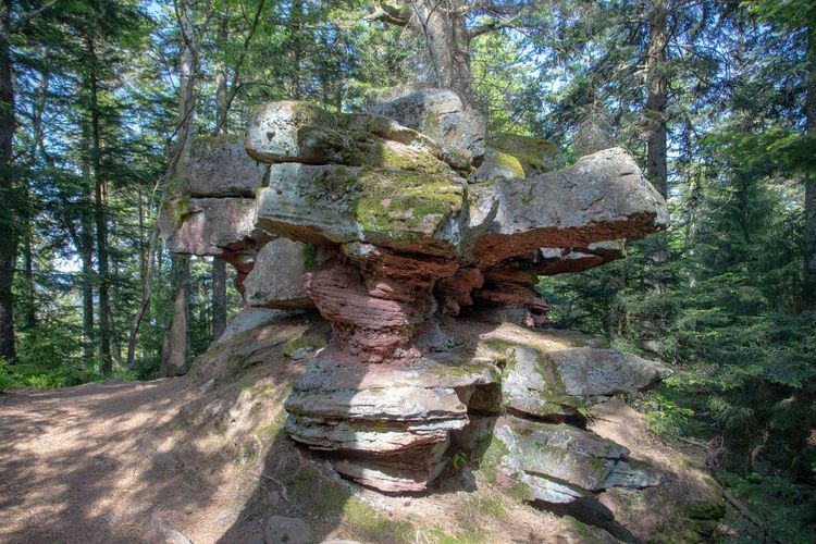
The Taennchel peaks at 992 metres above Aubure, one of the highest villages in Alsace, and features a chaos of granite blocks that has become a place of local legend, with some seeing ancient sacred alignments in the formations. The Taennchel rocks are crossed via a red-rectangle-marked trail, with an elevation gain of around 350 metres from the nearest car park.
The ascent first crosses a dense beech forest before emerging onto the ridge line, where you can make out in turn the Hohneck massif, the Alsatian plain and, on days of exceptional visibility, the blue outline of the Black Forest. The trail passes at the foot of rock formations named by hikers of the previous century, each with its own recognisable silhouette: this is what makes the walk entertaining with teenagers, who search for profiles in the stone instead of counting metres of elevation. Allow three hours for the full return trip from Thannenkirch or from the col de Fréland, two starting points of equivalent difficulty.
Katzenthal, the Galtz, and the Chapelle Saint-Wendelin
From the wine-growing village of Katzenthal, a trail climbs in just under an hour to the Galtz (Katzenthal, 68230 Katzenthal), a 731-metre summit offering one of the most photographed panoramas over the Colmar vineyard. The Galtz monument, visible from far across the plain, marks the high point.
The most pleasant path passes by the chapelle Saint-Wendelin, isolated among the vines and dedicated to the patron saint of shepherds, before joining the summit via a steeper woodland path. It is a short outing — two hours return — perfect in the late afternoon to catch the raking light across the vine rows. Few trails in the area offer such a reward-to-effort ratio in such a short time, and the village has enough wine cellars to justify a stop on the way back.
The Vosges Lakes Reachable on Foot from Colmar
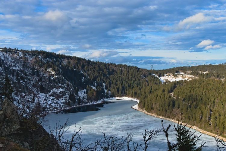
The Munster valley and the Vosges slopes of the Haut-Rhin are home to around fifteen glacial lakes reachable in one to three hours on foot. This is the richest theme in this guide: it is better to choose one basin rather than trying to tick them all off in a single season.
Lac Blanc, Lac Noir, and the Four-Lake Circuit
The Orbey area is home to the two most visited lakes in the massif. Lac Blanc, at just over 1,050 metres in altitude, owes its name to the clarity of its water contrasting with the dark granite surrounding it, and can be circumnavigated in just under an hour.
Half an hour's walk away, Lac Noir sits in a deeper cirque and sees far fewer visitors. The two lakes have been linked since the 1930s by a pumped-storage hydroelectric installation, one of the oldest in France, which explains the concrete structures visible on the banks. The four-lake circuit, which adds lac du Forlet, also known as lac des Truites, and lac Vert, forms a loop of around 13 kilometres very popular with day hikers. A shorter variant, the three-lake circuit, covers just the Blanc, Noir and Forlet in half a day. Plan to set off early at weekends: the lac Blanc car park fills up from 10 a.m. in high season, even outside school holidays.
Lac de Schiessrothried from Gaschney and Lac de la Lauch
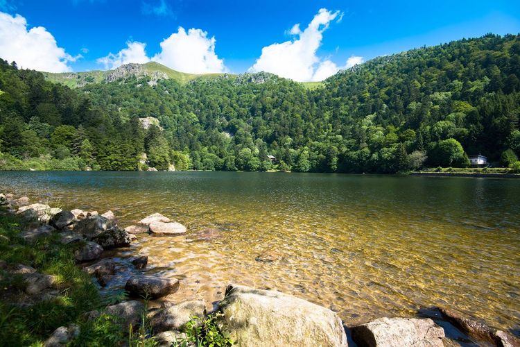
On the Munster valley side, the hamlet of Gaschney serves as the starting point for several lake loops. Lac de Schiessrothried, a reservoir developed in the early 20th century at the foot of the Hohneck, requires around 45 minutes of descent followed by an equivalent climb back up, for a setting noticeably more mineral than the Orbey lakes.
Further south, in the upper Lauch valley known to Alsatians as the Florival, lac de la Lauch is a reservoir filled in the late 19th century and surrounded by forest, accessible from Linthal or via the heights of the Markstein. Its banks lend themselves to a family loop of one hour, and the road leading to it passes at the foot of the château du Hugstein mentioned earlier.
Lac de Fischboedle, Lac des Truites, and Lac des Corbeaux
From the village of Mittlach, a wide forest track leads in 40 minutes to lac de Fischboedle, the smallest and arguably most photogenic lake in the Munster valley, ringed by fir trees. It has the unusual distinction of being artificial: it was dug in the 19th century by a local landowner for trout farming, as its regular shape still suggests.
Lac des Truites, or lac du Forlet, is the highest lake in the Vosges massif at 1,066 metres; it can be reached from lac Blanc via the ridge in one hour along a well-marked path. Further south, near La Bresse, lac des Corbeaux occupies a spectacular glacial cirque: the circuit around the lake takes 45 minutes, and the path climbing to the rocher des Corbeaux offers a vertiginous plunge down to the dark water below. This area requires around 45 minutes of extra driving beyond Colmar, but remains within this guide's scope for those wishing to vary the atmosphere.
Towards Gérardmer: Longemer, Lispach, Kruth-Wildenstein, and La Maix
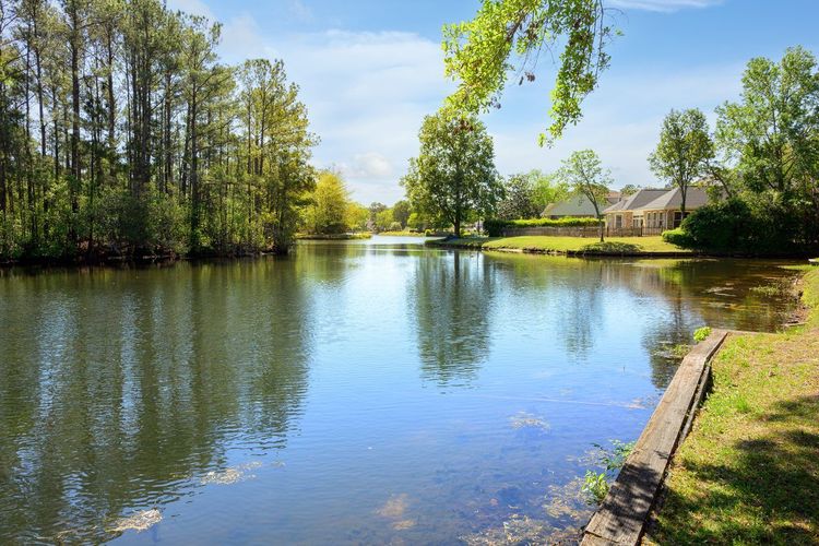
Pushing towards Gérardmer, four more lakes round out the picture for visitors ready to spend a full day on the Vosges side. Lac de Longemer (Xonrupt-Longemer, 88400 Xonrupt-Longemer, rated 4.7/5 on Google with 1,158 reviews), the largest, can be walked in full in two hours along an almost entirely flat path, ideal for families.
Nearby, lac de Lispach, a classified former peat bog where sundews and cottongrass grow, and lac de Kruth-Wildenstein, a reservoir set against the Thur valley, each add a short loop variant. More remote, lac de la Maix rewards the effort of a little-frequented forest trail that opens onto a wooden chapel set at the water's edge. To plan a multi-day itinerary between these massifs, our article on the Route des Crêtes des Vosges details the road connections between each lake area.
Waterfalls and Whitewater Trails in the Alsatian Vosges

Less numerous than the lakes, the massif's waterfalls are concentrated along two distinct axes: one on the Haut-Rhin side around the Grand Ballon, the other on the Bas-Rhin side towards the Champ du Feu. All are best seen in spring, when snowmelt swells the streams.
Cascade du Kletterbach from Lac du Ballon
Starting from lac du Ballon, a shaded trail follows the Kletterbach stream to its waterfall, a particularly impressive drop after the snowmelt.
Allow an hour and a half return for this easy walk, feasible from March when the high-altitude trails are still snow-covered. Lac du Ballon itself, a reservoir created in the Middle Ages to supply the Lauch valley with water, is worth a few extra minutes' detour.
Saut des Cuves and Cascades de Tendon
In the Gérardmer area, the Saut des Cuves is without doubt the most easily accessible waterfall in the massif: the Vologne river tumbles over a chaos of granite blocks ten minutes from a well-signposted car park, beside the road linking Gérardmer to the col de la Schlucht. It makes a reliable short stop on a touring day.
A little further west, the cascades de Tendon form a celebrated pair: the grande cascade, around thirty metres of stepped falls in a fir forest, and the more intimate petite cascade, linked by a marked trail of around two hours. It is one of the rare routes in this selection where water accompanies the hiker for almost the entire way.
Cascade du Hohwald and Cascade du Nideck
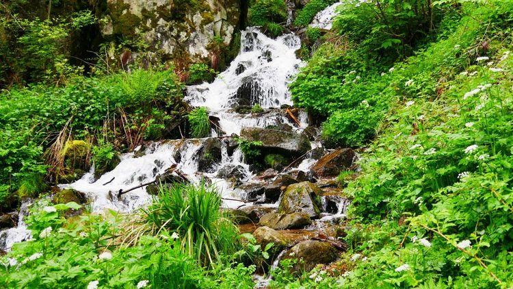
Further north, towards the Bas-Rhin, two waterfalls mentioned in every local guide are worth the detour if you extend your stay. The cascade du Hohwald (67140 Le Hohwald, rated 4.6/5 on Google with 1,875 reviews), fed by the stream of the same name, is reached via an easy forest trail from the village.
The better-known cascade du Nideck drops around 25 metres into a steep valley dominated by the ruins of the château du Nideck, which inspired Chamisso's ballad about the giant of Nideck, later retold by the Brothers Grimm. Both sites are further from Colmar — allow over an hour's drive — but complement a multi-day hiking stay in Alsace well.
Summits and Viewpoints: Grand Ballon and Sentier des Roches
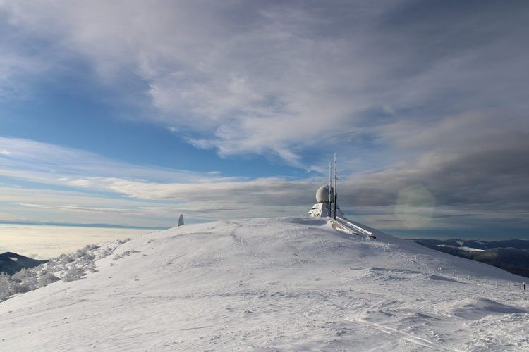
For the widest panoramas, head for the high ridges of the massif, where a wind often blows as a reminder that you are approaching 1,400 metres.
Sentier des Roches and Champ du Feu
The Sentier des Roches, carved as a balcony trail in the early 20th century above the Frankenthal valley, equipped with handrails and slab crossings, is the most spectacular route on the Alsatian side of the massif. It starts from the col de la Schlucht, 35 kilometres from Colmar, and loops back in around three hours via the Frankenthal.
Be warned, however: the trail alternates exposed rocky sections with quieter forest stretches; it is not recommended for young children, nor in wet weather, nor in winter, when frozen rock becomes genuinely dangerous. For a gentler panoramic outing, the Champ du Feu, the highest peak in the Bas-Rhin at 1,099 metres, is climbed on wide paths with an observation tower at the summit.
The Grand Ballon, Geissfels, and Schratzmaennele
At 1,424 metres, the Grand Ballon (68820 Willer-sur-Thur, rated 4.7/5 on Google with 1,945 reviews) is the highest point in the Vosges, reachable via several routes from the surrounding valleys. On very clear days, generally after a cold front passes through in winter, the Bernese Alps appear on the south-eastern horizon: it is rare, but it happens a handful of times each year.
On the northern slope, the rock formations of Geissfels and Schratzmaennele add a rocky detour appreciated by fans of granite sculpted by erosion, with balcony sections overlooking the Thur valley. To prepare a full ascent of the massif, our dedicated article on the Ballon d'Alsace details the various possible starting points around this iconic summit.
The Sentier de l'Écureuil and the Forêt des Volcans
Less strenuous, the Sentier de l'Écureuil, dotted with educational panels on forest wildlife, is perfectly suited to an outing with young children on the lower slopes of the massif: one hour is enough, and little ones happily walk from panel to panel. Nearby, the Forêt des Volcans offers a themed trail on the geological origins of the massif, whose rocks bear witness to volcanic activity over 300 million years old, with several outcrops visible directly from the path.
Easy Family Walks: Colmar Forest and the Fecht Valley
Not every outing in this guide requires a full day or a big elevation gain. For a family walk, three areas offer flat, short paths suitable even for young children or an off-road pushchair.
The Colmar Forest and Its Marked Trails
Just a few minutes from the city centre, the Colmar forest (Route du Ried, 68000 Colmar, rated 5/5 on Google with 1 review) offers a network of completely flat marked trails, well frequented by joggers and families at weekends.
Several short loops, between 3 and 8 kilometres, let you adapt the outing to the children's age without needing to drive anywhere. It is also the ideal place for a first taste of forest walking before tackling the more demanding Vosges itineraries, and the only site on this list reachable by bicycle from the station in a quarter of an hour.
A Riverside Walk at Ingersheim and Wintzenheim
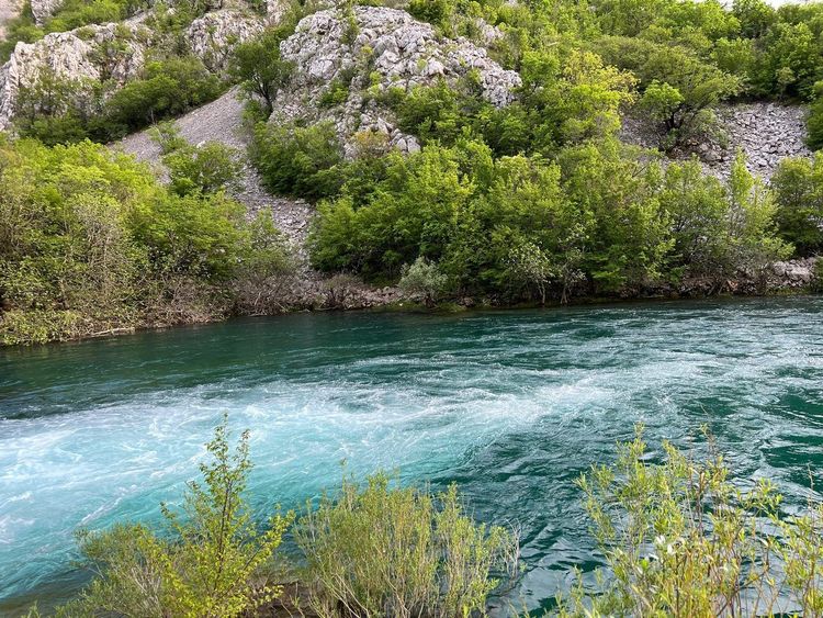
Heading up the Fecht valley, the villages of Ingersheim and Wintzenheim offer riverside trails that are shaded and virtually flat. The locally signposted 'territoire en balade' route links several points of interest along the water and can be walked in either direction depending on where you park.
These routes are particularly well suited to pushchairs and children's bikes, a rarity among the steeper trails listed above. They also have the advantage of remaining walkable after several days of rain, when the high-altitude forest paths turn to mud.
The Ried Plain East of Colmar
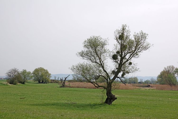
At the opposite end of the Vosges relief, the Ried plain east of the city offers an entirely different landscape: floodplain forests, canals, and the completely flat trails of the Ried brun. The water table is close to the surface here, keeping water at a near-constant temperature year-round and supporting an unusual flora. It is a good option during summer heatwaves, as the dense canopy of the Rhine forest provides a coolness that the exposed ridges cannot offer.
Vineyard Hikes: Villages and Oratories along the Wine Route
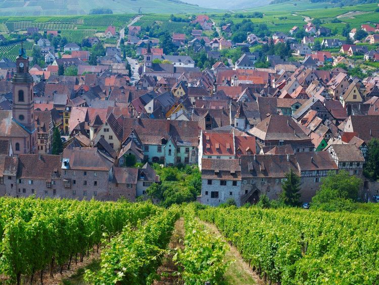
The Alsace wine route, which runs along the Vosges foothills for nearly 170 kilometres, passes through a dozen villages listed among the most beautiful in France. Walking here is gentle, between vine rows and dry limestone hills, with an elevation gain rarely exceeding 200 metres. For a fuller selection of must-see stops, our article on the most beautiful villages in Alsace near Colmar extends this section.
Eguisheim, Turckheim, and the Oratory Circuit of Zimmerbach
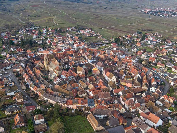
Eguisheim, a circular village built in concentric rings around its castle and voted France's favourite village in 2013, is the starting point of a marked vineyard trail that climbs gently towards the surrounding dry hills and the three keeps that overlook it.
A few kilometres away, Turckheim still has its three fortified gates and its night watchman, who continues his sung evening rounds during the warmer months. The oratory circuit of Zimmerbach, a neighbouring village, connects around ten small oratories scattered through the vines on a loop of about two hours: an ideal vineyard walk in the late afternoon, when the light rakes across the slopes.
Riquewihr, Kaysersberg, and the Heights of Sigolsheim
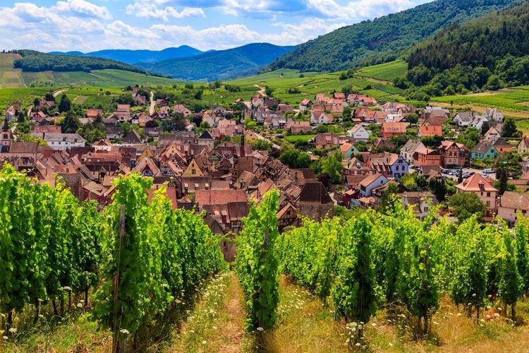
Riquewihr, a member of the Plus Beaux Villages de France, lends itself to a vineyard loop that looks down over the half-timbered rooftops from the surrounding heights, with the Schoenenbourg, one of Alsace's most celebrated grand crus, underfoot.
Kaysersberg (Rue du Général de Gaulle, 68240 Kaysersberg, rated 4.7/5 on Google with 14K reviews), birthplace of Doctor Albert Schweitzer, offers several routes on the heights of Kaysersberg, between the castle and the chapelle Saint-Alexis, heading towards the col du Bonhomme. The heights of Sigolsheim, less well known, offer an open panorama over the entire plain from the national war cemetery, a reminder of the battles of the Colmar Pocket in the winter of 1944–1945.
Ammerschwihr, Mittelwihr, Bergheim, Pfaffenheim, and Rouffach
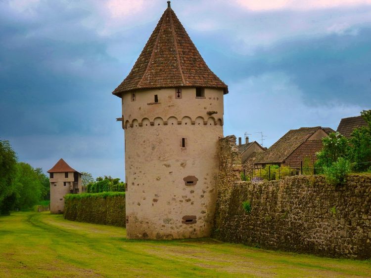
Further south and north of this central cluster, around ten villages complete the offer for those wishing to multiply stops. Ammerschwihr and Mittelwihr mark the wine route heading north, while Bergheim, surrounded by its intact ramparts and 14th-century upper gate, makes a popular stop for its tranquillity.
To the south, Rouffach and Pfaffenheim open onto a landscape of dry hills: the neighbouring Bollenberg, where rare steppe species bloom, looks more like Provence than Alsace in midsummer. The Labaroche area, at altitude, makes it possible to link the vineyard to the nearby summits, such as the tour du Faudé with its panoramic tower above Orbey, or the rocher du Coucou, two popular viewpoints around the Bonhomme pass. This diversity of landscapes explains why so many hikers return year after year to the same trails without ever tiring of them. Back in Colmar, the audio-guided tour rounds off these hikes with a stroll through the old town.
Choosing Your Hike: Duration, Difficulty, and Best Season
With such a variety of routes, it is better to narrow down your choice before setting out rather than improvising on the morning.
Levels and Durations by Area
The vineyard trails, such as those of Eguisheim or Riquewihr, remain accessible to the whole family: little elevation gain, wide paths, one to three hours in duration. The intermediate massifs (Taennchel, Galtz, Wintzenheim forest) require more stamina, between two and four hours, with 300 to 500 metres of elevation gain. The Hautes-Vosges, around the Grand Ballon or the Hohneck, call for more committed hiking, with rocky sections and elevation gains that can exceed 700 metres on a full day. A walking circuit from Colmar can therefore range from the gentlest Sunday stroll to a demanding multi-hour outing, depending on the area chosen.
A useful benchmark for estimating your walking time: on these trails, most hikers cover 3.5 km/h on flat ground and climb 300 metres of elevation per hour. Always add half an hour for photo stops — there will be many.
When to Go: Grape Harvest in Autumn, Snowshoeing in Winter
Spring is perfect for the waterfalls, swollen by snowmelt, and for the foothill forests, still cool before the summer heat sets in. Autumn, the harvest season, transforms the vineyard into a festival of colour and remains the most photogenic time to visit Haut-Koenigsbourg or wander from village to village. Summer, on the other hand, calls for an early start: the east-facing slopes become stifling from 11 a.m. onwards.
In winter, the ridges receive enough snow regularly enough to allow snowshoeing outings in the Vosges, particularly around the Hohneck, the Markstein and the Schnepfenried, where specific itineraries are marked out and separated from cross-country ski trails. Always check snow conditions before heading out: from one year to the next, the difference below 1,000 metres can be considerable.
Getting to the Trails and Where to Park
Colmar is particularly well suited to day trips: none of the trails listed in this guide is more than 45 minutes' drive from the city centre, and most are under 20 minutes away. The D417 heads straight towards Munster, the Fecht valley and the col de la Schlucht, while the D83 serves the southern vineyard and the approach to the Grand Ballon.
Without a car, the TER regional train linking Colmar to Metzeral via Munster drops hikers at the foot of the valley, within easy reach of the Fischboedle and the Schiessrothried. Several wine villages are also connected to the city by secure cycling paths, making it possible to combine cycling and walking in a single day, alongside the ideas in our selection of the best things to do in Colmar.
Trailhead car parks are generally free, but some fill up quickly at weekends in high season, particularly those at lac Blanc, Grand Ballon and Haut-Koenigsbourg. For these three sites, aiming for a before-9 a.m. departure avoids circling for twenty minutes in search of a space. Wine villages almost all have a free car park on their outskirts, often signposted with a 'départ randonnée' sign; avoid parking on the farm tracks between the vines, however, as they must remain clear for tractors, especially in September.
Bike Rental and Complementary Outdoor Activities
To vary the experience, several local operators combine hiking with complementary outdoor activities.
Bike Rental in Kaysersberg and Colmar
In Kaysersberg, Alsa Cyclo Tours rents standard and electric bikes, a good option for linking several wine villages in a day without heavy legs the following morning.
In the city, Dopamine Bike Rental and Ed'Bike offer similar packages, sometimes with the option of having the bike delivered directly to your hotel. These rental services make it possible to turn a simple walking day into a multi-day cycling and hiking itinerary, combining both modes of travel according to the terrain: cycling on the plain and through the vineyard, walking as soon as the gradient steepens.
Horse Riding and Outdoor Stays in the Vosges
For something off the beaten track, several operators offer one- or multi-day horse-riding stays through Vosges forests and panoramas. Other packages, wellness-oriented, combine hiking with relaxation activities in nature, or multi-activity outdoor weekends designed specifically for a female audience, blending walking, yoga and discovery of the massif.
Where to Sleep and Eat after Your Hike
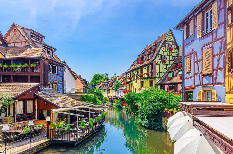
After a day on the ridges or in the vineyard, the city and its surroundings are full of places to eat and unwind. Colmar, less than 30 minutes from most trailheads, remains the most practical base for stringing together several outings over a stay of a few days, with the added advantage of being able to dine on a terrace beside the Lauch once the boots are off.
Up in the hills, the fermes-auberges of the Hautes-Vosges offer a rustic alternative to city-centre hotels: most serve the repas marcaire, the traditional menu of the former cattle farmers of the Munster valley, featuring the valley's tourte, smoked meat accompanied by roïgabrageldi (pan-fried potatoes) and farmhouse munster cheese to finish. Many also offer a few rooms or a dormitory, best booked well in advance in summer. Club Vosgien shelters, more basic, are useful on long traverse routes.
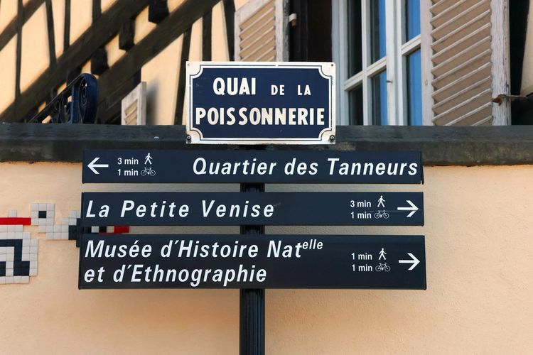
To explore local gastronomy after the effort, our article on the culinary specialities to try in Colmar lists the typical dishes. And if your legs are still up for more, the Ryo audio-guided tour of Colmar offers 23 audio stops over 2.7 kilometres to explore Petite Venise and the Tanners' Quarter in just over an hour.
FAQ
What is the most beautiful hike around Colmar?
The three-castle loop of Ribeauvillé offers the best heritage-to-effort ratio in the area, with three distinct ruins on a single three-hour circuit. For a wider panorama, the Grand Ballon remains the benchmark of the Hautes-Vosges, and the Sentier des Roches is the most spectacular route for hikers comfortable on rocky terrain.
How long does it take to complete the three-castle loop of Ribeauvillé?
Allow around three hours for the full loop, with a cumulative elevation gain of close to 400 metres. It is a half-day hike, walkable year-round except during snow or ice episodes on the final ascent.
Where can families hike around Colmar?
The Colmar forest, the Fecht valley between Ingersheim and Wintzenheim, and the vineyard trails of Eguisheim all offer flat, short routes suitable for young children and pushchairs. The Sentier de l'Écureuil and the tour of lac de Longemer round out the list nicely.
Which lake should I visit on a hike near Colmar?
Lac Blanc, near Orbey, is the most accessible and comprehensive thanks to the four-lake circuit. For more tranquillity, lac de Fischboedle from Mittlach or lac de la Lauch above Linthal are better choices, with far fewer people on the banks.
What is the best season for hiking near Colmar?
Spring suits the waterfalls and foothill forests, autumn is ideal for vineyard villages during the grape harvest, and winter opens up snowshoeing on the Hohneck and Grand Ballon ridges. Summer is pleasant if you set off early in the morning.
Can you hike through the vineyards near Colmar?
Yes, the wine route passes through a dozen villages listed among the most beautiful in France, with marked vineyard trails and little elevation gain, such as the oratory circuit of Zimmerbach or the heights of Sigolsheim. Stay on marked paths during the harvest season.
Where can I park to hike near Colmar?
Most trailhead car parks are free. Those at lac Blanc, Grand Ballon and Haut-Koenigsbourg fill up quickly at weekends during high season: it is best to arrive before 9 a.m. for these three sites, or choose a starting point in one of the wine villages.
From Colmar's urban forest to the Grand Ballon ridges, passing through the ruins of Ribeauvillé and the vineyards of Eguisheim, hiking around Colmar takes on as many faces as there are days available to explore it. There is no need to fit everything into a single stay: many visitors return each season to discover a new area, from the vineyards in autumn to snowshoeing in winter.
To extend the discovery once back in the city, the Ryo audio-guided tour of Colmar connects the main heritage highlights of Petite Venise on foot, with the same attention to detail as these nature trails. It is often the best way to close a day of walking, between two half-timbered houses and a well-deserved glass of riesling.
À lire également