© Shutterstock
 Votre guide Ryo
New York Without a Car: The Complete 2026 Guide to Getting Around
Ask a lifelong New Yorker where they parked and you'll usually get a blank stare back. Exploring New York without a car is simply how most of the city's eight million residents live: the subway runs around the clock through four boroughs, buses fill the gaps, and yellow cabs queue by the hundreds outside Penn Station for the rare moments you need one. If you want to see the city the way locals do, on foot and by train, Ryo's audio-guided tour of New York follows that same logic, threading through neighborhoods you can reach from any subway stop.
This guide walks you through everything you need to move around without touching a steering wheel: how the subway and bus network fits together, what OMNY means for your wallet now that the MetroCard is on its way out, which neighborhoods reward a good pair of walking shoes, when a ferry beats a train, and the rare moments a taxi or rental car genuinely makes sense. You'll also find car-free routes to JFK, LaGuardia and Newark, a sample day itinerary, a realistic budget, and a full roundup of day trips, from a beach reachable by a single subway line to a river town that inspired one of America's most famous ghost stories.
The Subway and Bus Network: NYC's Car-Free Backbone
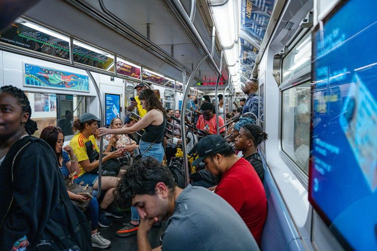
The New York City subway runs 24 hours a day, 7 days a week, across 472 stations in Manhattan, Brooklyn, Queens and the Bronx. Very few cities in the world keep trains moving all night, and that single detail explains why so many residents never bother owning a car: there is always a train coming, even at 3 a.m. after the last set at a Lower East Side bar. Staten Island has its own railway, linked to Manhattan by the free Staten Island Ferry.
A few habits make the system far less intimidating. Check whether a station entrance is marked « Uptown » or « Downtown » before you tap in, because some stations have separate entrances for each direction with no free crossover. Learn the difference between express trains (fewer stops, big time savings on long trips) and locals, which stop everywhere. And use a live transit app or the MTA's own app: weekend and late-night service changes are frequent, and the posted signs on the platform are the final word.
Buses fill in where the subway doesn't reach directly. A standard ride costs $3, the same as a subway fare, uses the same OMNY tap-to-pay system, and includes a free transfer between bus and subway within two hours. Crosstown routes like the M14 or M23 cover ground the mostly north-south subway lines skip entirely. Select Bus Service (SBS) routes speed things up further: you pay before boarding at a curbside machine, then enter through any door, which shaves real minutes off a ride through congested avenues.
Traveling with pets on transit comes with one firm rule: small animals must ride in a carrier you can hold on your lap. Service animals are the exception and travel freely. Anyone who's watched a dachshund's head poke out of a tote bag on the 6 train knows this rule is followed more loosely than it's written, but it remains the official MTA policy.
Accessibility is improving but uneven. Only part of the network has elevators, so if you travel with a stroller, a wheelchair or heavy bags, filter your route planner for accessible stations; every MTA bus, by contrast, kneels and has a ramp or lift.
For neighborhoods sitting far from a station, the first-mile, last-mile gap gets closed with local buses and Citi Bike docks clustered near transit hubs. If you're staying somewhere that looks like a 10-minute walk from the nearest train on a map, check for a bus connection first: outer-borough blocks are often longer than they appear.
Once you step off the train in the Financial District, the real exploring starts on foot. Ryo's audio-guided walk through the Towers of Wall Street picks up right where the subway stops, narrating the stock exchange, Trinity Church and the narrow colonial-era streets stop by stop.
OMNY and MetroCard: Paying Your Fare Without a Car
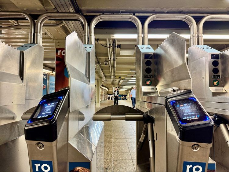
OMNY is the contactless payment system that has replaced the old swipe-card routine. Tap a contactless credit card, debit card or phone at any turnstile and you're through, no need to buy anything in advance. The system caps your spending automatically: once you've paid $35 in subway and local bus fares within seven days on the same card or phone, every further ride that week is free. That's the old weekly unlimited pass without the upfront commitment.
The yellow MetroCard is effectively retired. Sales and refills ended on January 1, 2026, and the MTA has announced that remaining acceptance will end during 2026, so don't bother hunting for one. If you don't have a contactless bank card, buy a reusable OMNY card at station vending machines or at many pharmacies and convenience stores, load it, and tap exactly the same way.
Two practical notes. First, always tap with the same card or phone, otherwise the fare cap won't recognize your rides. Second, if you're visiting from abroad, OMNY reads most foreign contactless cards, but your bank may flag the first small transaction as unusual. A quick heads-up to your bank before you land saves you a frustrating tap-and-decline moment at a crowded turnstile.
Exploring on Foot: New York's Most Walkable Neighborhoods
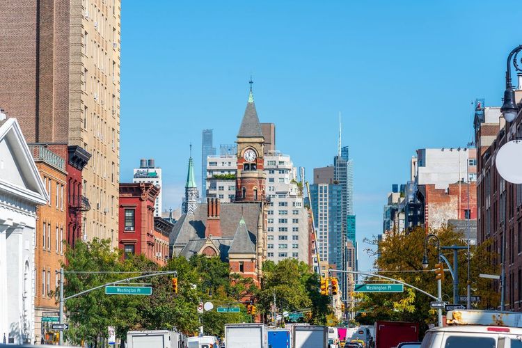
Manhattan's numbered grid above 14th Street is one of the most pedestrian-friendly pieces of urban planning in the country. Streets run east-west, avenues run north-south, and twenty north-south blocks equal roughly a mile, so you can estimate walking times in your head within a day. South of 14th Street, the grid dissolves into the older, curving lanes of Greenwich Village and the West Village, where tree-lined blocks like Bedford Street and Commerce Street reward aimless wandering more than any map ever could.
Across the East River, Dumbo and Brooklyn Heights form another walkable cluster: cobblestone streets under the Manhattan Bridge give way to a promenade with one of the best skyline views in the city. Walk there over the Brooklyn Bridge and you've turned a transfer into the highlight of your day. Further out, Astoria in Queens and Park Slope in Brooklyn trade high-rise density for tree cover and corner cafés, the kind of neighborhoods where a car would slow you down compared to walking or a short subway hop.
Then there's Central Park (New York, NY 10024, rated 4.8/5 on Google (302 927 avis)), 843 acres of mostly car-free paths running straight through the middle of Manhattan.
A full loop around the park's drives covers about 6 miles, enough for a half-day outing, while shorter paths through the Ramble or around the reservoir suit a quick hour between other plans. Prefer a story with your stroll? Ryo's audio-guided stroll through Central Park comes in two versions: a longer loop that takes in Bethesda Terrace and the Mall, and a shorter one for when you're working with less time.
NYC Ferry: Scenic Rides Across the Rivers
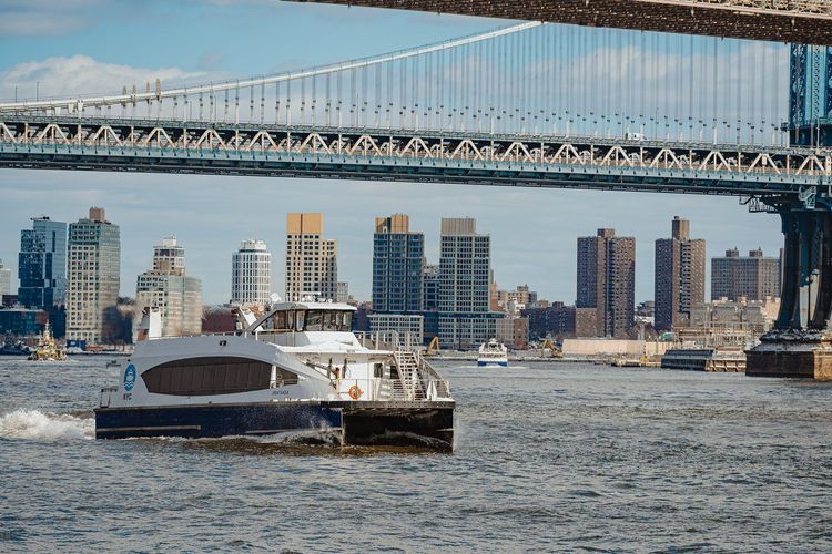
NYC Ferry runs six year-round routes: East River, Astoria, South Brooklyn, Rockaway-Soundview, St. George and Coney Island, plus a seasonal weekend shuttle to Governors Island. A one-way ticket costs $4.50, a little more than the subway, and you pay through the NYC Ferry app or at the landing machines rather than with OMNY. What you get in return is a built-in skyline view: the East River route passes close enough to the Manhattan shoreline that commuters routinely pull out their phones for photos they'll never admit are tourist shots.
Boats run roughly every 20 to 30 minutes on most routes during the day, less often at night, so check the live departure times rather than just showing up. Folding bikes ride along at no charge, which makes the ferry a natural pairing with Citi Bike when your route spans a river crossing and a few miles on land.
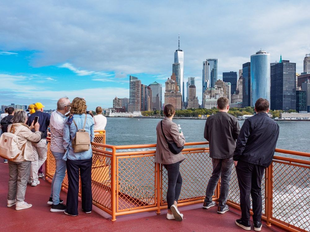
If you'd rather pay nothing at all, the orange Staten Island Ferry is free, runs 24 hours a day between Whitehall Terminal and St. George, and glides past the Statue of Liberty on its 25-minute crossing. Plenty of visitors simply ride over and straight back.
Step off either boat near the Financial District and you're steps from Lower Manhattan's oldest streets, where Ryo's audio-guided route fills in the stories a passing skyline view can only hint at from the water.
Citi Bike: Pedaling Through the City
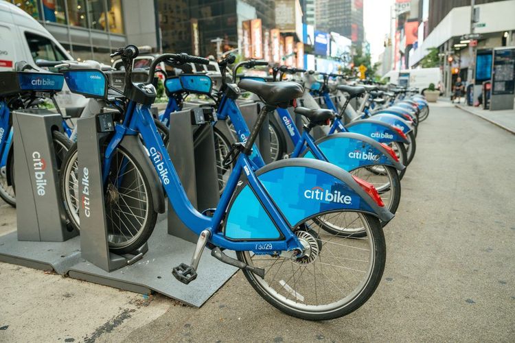
Citi Bike's network counts roughly 2,000 docking stations and more than 30,000 bikes across Manhattan, Brooklyn, Queens, the Bronx and neighboring Jersey City and Hoboken. Members get 45-minute rides included, while visitors can buy a single ride or a day pass covering unlimited 30-minute classic rides, with extra charges kicking in only if a ride runs long.
Electric-assist bikes cost a small premium but make a real difference on bridge approaches and longer crosstown trips. Protected bike lanes now run along many major avenues, which is the difference between a pleasant ride and a nerve-wracking one: stick to them whenever your route gives you the choice, and avoid riding on sidewalks, which is illegal for adults.
Docking stations cluster most densely near subway entrances and ferry landings, which makes Citi Bike a last-mile tool rather than a way to cross the whole city. Unlock through the app, and before you walk away, confirm the dock light has turned green: a bike that isn't properly locked keeps the clock running.
Taxis, Rideshares, and Rental Cars: When You Might Still Want Wheels
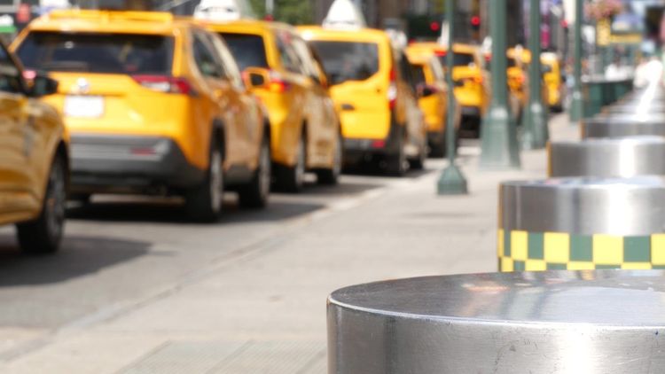
For all the transit options above, there are moments when four wheels make sense. Late at night, when subway frequency drops and getting home from an outer-borough neighborhood would mean two transfers and a 40-minute wait, a yellow cab or rideshare is the practical call. The same goes for heavy luggage straight from an airport, or a group of four splitting a fare that rivals four separate subway rides.
Yellow cabs are metered and regulated, with fares starting at $3 before surcharges and climbing with distance and time stuck in traffic. Green « Boro » taxis serve upper Manhattan and the outer boroughs. Uber and Lyft add a state congestion surcharge to any trip touching Manhattan south of 96th Street, on top of the congestion pricing toll covered in the next section.
Renting a car for a Manhattan stay rarely pencils out. Parking garages commonly charge $40 to $75 per night, on top of the rental itself, and that's before tolls, insurance and the stress of driving city streets. A rental earns its keep only on specific trips: some Catskills trailheads or Hudson Valley back roads sit far enough from any train or bus stop that a car saves real hours, even if the city itself never needed one. If that's your plan, pick the car up on your way out of town rather than on arrival.
Congestion Pricing: One More Reason to Leave the Car Behind
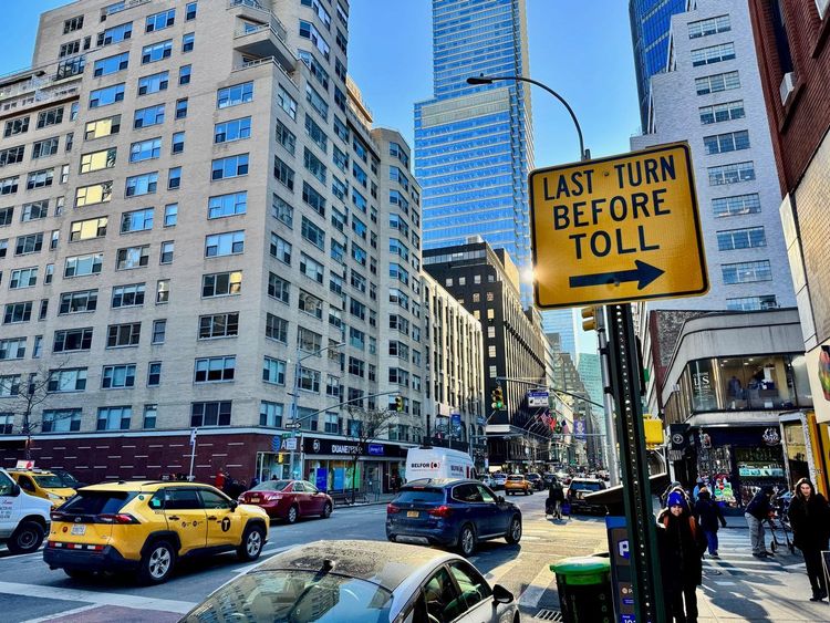
Since January 5, 2025, drivers entering Manhattan south of 60th Street pay a congestion toll on top of any bridge or tunnel tolls. You'll pay $9 for most passenger vehicles during peak hours and a reduced rate overnight, collected automatically through E-ZPass or billed by mail to the plate caught on camera, rental cars included, often with an administrative fee from the rental company.
Early data from the program's first year showed lighter traffic entering the zone and faster bus speeds on several key routes, a rare case of a policy change showing up in commute times within months. Revenue from the toll is earmarked for MTA subway and bus upgrades, so every driver who skips the toll by taking the train is, in a roundabout way, funding the system that made the choice easy.
Grand Central Terminal and Other Car-Free Gateways
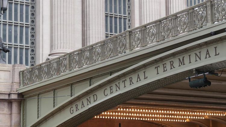
Grand Central Terminal) opened in 1913 and still works as the Manhattan hub for Metro-North commuter rail, not just a photo stop.
The main concourse's ceiling, painted with a backwards zodiac, and the whispering gallery outside the Oyster Bar are worth the detour even if you have no train to catch. Since 2023, the LIRR also arrives underneath at Grand Central Madison, so Long Island trains now reach the east side directly. About twenty blocks north-east, at 59th Street and Second Avenue, the same spirit of transit-as-landmark shows up at the Roosevelt Island Tramway (29th St, New York, NY 10044, rated 4.7/5 on Google (9 997 avis)), an aerial cable car that rises about 250 feet above the East River on its way to Roosevelt Island.
It costs the same $3 OMNY fare as the subway, departs every 7 to 15 minutes, and connects to the F train on the island side, making it one of the few only-in-New-York rides that is also practical daily transit. Ride it one way and take the F back to see both sides of the commute.
Getting to the Airports Without a Car

JFK Airport connects to the city via the AirTrain, which links every terminal to the subway's A train at Howard Beach and to the E, J and Z lines plus the Long Island Rail Road at Jamaica. The AirTrain costs $8.75, so the combined trip with the subway lands around $11.75 and takes roughly an hour to Midtown. The LIRR from Jamaica to Penn Station or Grand Central Madison is faster, about 20 minutes, for a few dollars more.
LaGuardia Airport) has no rail link, but the free Q70 LaGuardia Link bus connects every terminal to the 7, E, F, M and R trains at Jackson Heights and to the LIRR at Woodside in about 10 to 15 minutes. The M60 SBS bus heads to Harlem and the Upper West Side for a standard $3 fare.
Newark Liberty International Airport (Newark, NJ 07114, rated 3.7/5 on Google (44 672 avis)) sits in New Jersey, but its own AirTrain connects to NJ Transit and Amtrak trains at the Newark Airport rail station, reaching Penn Station in about 30 minutes for roughly $17 combined. It's often the fastest airport-to-Manhattan transit route of the three.
Arriving from elsewhere in the country? Amtrak and NJ Transit trains pull into Penn Station, Metro-North into Grand Central, and intercity buses into the Port Authority Bus Terminal, all a subway ride from wherever you're staying. Rideshares remain available at all three airports, but none of the transit routes above needs more than one transfer, which beats a cab stuck on the Van Wyck at rush hour.
A Sample Car-Free Day in Manhattan
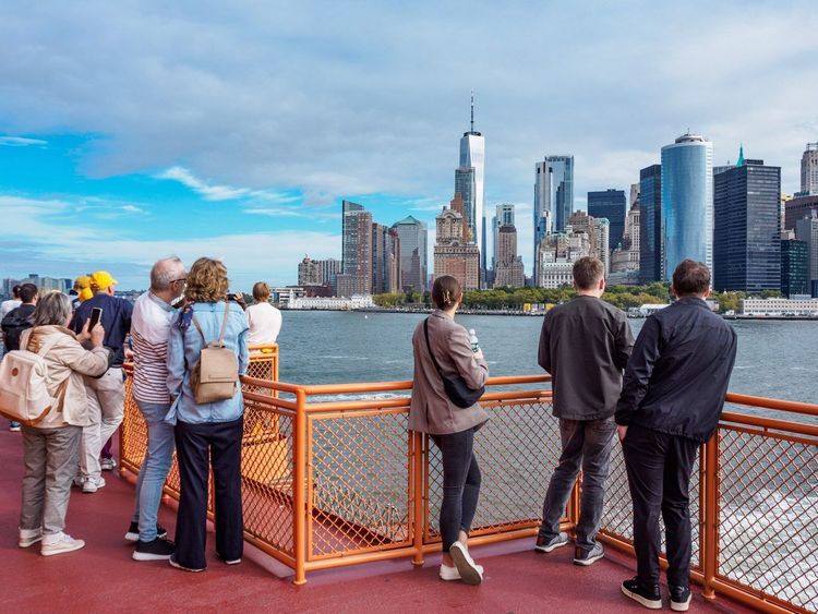
Wondering how all of this fits together? Here's a day that uses almost every mode in this guide. Start with the free Staten Island Ferry at sunrise for a close look at the Statue of Liberty, then walk off the boat into the Financial District. This is the moment to put on your headphones: Ryo's audio-guided walk through the Wall Street towers turns an hour among the skyscrapers into a story about the city's origins.
Late morning, walk across the Brooklyn Bridge to Dumbo for lunch, then catch the East River ferry back up to Midtown. In the afternoon, hop on a Citi Bike along the Hudson River Greenway or take the subway up to Central Park and wander its paths until sunset. Close the day with the Roosevelt Island Tram for a skyline view, and the F train home. Total transport cost: a handful of taps on your phone, well under the $35 weekly cap.
Car-Free Day Trips From New York City
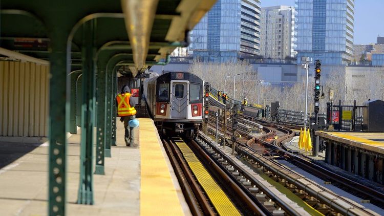
The biggest gap in most car-free guides is everything beyond the five boroughs, yet some of the best escapes from the city were practically designed around a train schedule. For more to see closer to home first, Ryo's guide to activities in and around New York covers plenty of ground before you even reach a train platform.
For beach days, three options cover very different moods. Rockaway Beach) is reachable by subway alone: the A train runs out to the peninsula, which makes it the default choice for a spontaneous summer afternoon, and the seasonal Rockaway ferry adds a scenic alternative. Jones Beach takes a bit more planning, a Long Island Rail Road ride to Freeport paired with a connecting summer bus, but rewards the extra step with a wider, quieter shoreline. Fire Island) goes further again: LIRR to Bay Shore or Sayville, then a ferry across the Great South Bay to car-free beach communities where even locals get around by bike and boardwalk.
Islands and river towns bring a slower pace. Governors Island) sits a short ferry ride from the Battery and is open daily year-round, with car-free biking, hammock groves and art installations in former military buildings. Up the Hudson, Sleepy Hollow is an easy Metro-North ride from Grand Central, around 45 minutes, and delivers exactly the atmosphere its name promises, including the cemetery where Washington Irving, author of the headless horseman tale, is buried. Further north, Beacon pairs a scenic river-hugging train ride with Dia:Beacon (3 Beekman St, Beacon, NY 12508, rated 4.5/5 on Google (3 343 avis)), a vast contemporary art museum inside a former printing factory, and a walkable Main Street built for an afternoon with no car in sight.
For real elevation, Harriman and Bear Mountain state parks are reachable on weekends by Metro-North's Hudson Line to hiker-friendly stops such as Manitou, or by Short Line buses from Port Authority to Bear Mountain; fall weekends get busy, so start early. The Palisades, the cliffs facing Upper Manhattan across the Hudson, are a walk across the George Washington Bridge or a short bus ride from the GWB Bus Station, with river views most visitors assume require a car. The Catskills are the honest exception: Trailways buses from Port Authority reach towns like Phoenicia, but once you're there, a taxi or pre-arranged shuttle is usually needed for the trailheads themselves.
Finally, for a bigger trip, Philadelphia sits about 90 minutes away by Amtrak from Penn Station, or longer but much cheaper via NJ Transit and SEPTA. It's a full change of city without ever touching a highway.
Budgeting for Car-Free Travel in NYC
The OMNY weekly cap of $35 covers every subway and local bus ride for seven days, however many trips you take beyond the cap. Compare that to a single night in a Manhattan parking garage, which routinely runs $40 to $75, and the car-versus-transit question settles itself before you've even packed.
A rental car typically costs $70 to $120 per day before insurance, plus the $9 congestion toll each time you enter the zone at peak hours, plus hotel parking, plus bridge and tunnel tolls. Add it up over even a short visit and the gap between $35 for an entire week of unlimited transit and the layered cost of a rental becomes hard to justify unless you're headed somewhere transit can't reach.
Here's what a typical week can look like for a visitor: $35 for subway and buses, a few NYC Ferry rides at $4.50 each, a Citi Bike day pass or two, and an AirTrain ticket each way. Many visitors spend well under $100 on transport for the whole trip, less than two nights of garage parking. For longer stays, owning a car in the city, between insurance, a monthly parking spot and inevitable tickets, regularly runs past $700 a month before you've driven a mile.

FAQ
Is it possible to live in New York City without a car?
Yes, and it's the norm rather than the exception: more than half of New York City households don't own a car, a figure that climbs even higher in Manhattan. The subway, buses and a dense walkable grid cover daily needs for work, groceries and errands in a way few other American cities can match.
How do you get around New York City without a car?
The subway and bus network covers most trips, with OMNY tap-to-pay making fares simple for visitors and residents alike. Walking fills in shorter distances, NYC Ferry and the free Staten Island Ferry cover waterfront routes, and Citi Bike handles the last mile between a station and your destination.
Do you really need a car in New York City?
For daily life within the five boroughs, no. A car mostly becomes useful for specific trips, such as late-night outer-borough travel, heavy luggage, or certain Catskills hikes far from any train line, rather than for getting around the city itself.
Is it easy to get around New York without a car as a visitor?
It's arguably easier than driving: parking is scarce and expensive, traffic is often slower than the subway, and most major attractions sit within walking distance of a station. A short learning curve with OMNY and the subway map is usually all it takes.
What's the cheapest way to get around NYC without a car?
Walking costs nothing and covers more ground than most visitors expect, and the Staten Island Ferry is free. For longer distances, the $35 weekly OMNY fare cap covers unlimited subway and local bus rides for seven days.
Do I need a car to visit NYC's main attractions?
No major Manhattan attraction requires a car, and most sit a short subway ride or walk from each other. Even trips beyond the city, like Governors Island, Beacon or Rockaway Beach, are built around train and ferry schedules rather than highway exits.
Getting around New York without a car is simply how the city was built to move. Between round-the-clock subway service, ferries that turn a commute into a skyline tour, and walkable neighborhoods on both sides of the East River, the hardest part of a car-free visit is deciding which route to take first. When you're ready to start walking, let the Ryo audio guide to New York tell you the stories behind the streets, bridges and parks you'll already be crossing on foot.
À lire également